 Introduction | Pembina River | Cypress and Crystal Creeks Assiniboine River | Cypess River | Here & There | Sources    Cypress Creek & Crystal Creek  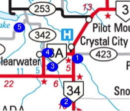 Cypress Creek, called Long River in earlier times, flows from near the U.S. Border, through Clearwater before joining the Pembina River near Rock Lake. Crystal Creek a little to the east, flows by Crystal City and ends up merging with Cypress Creek just before it reaches the Pembina. These are small streams, very seasonal, but they still present a challenge in the spring. Over the years a few architecturally notable (and attractive) bridges have spanned each. 1. Crystal Creek - Crystal City: N49.14777, W98.95802 2. Cypress Creek: Hildebrand Crossing: N49.08847, W98.98378 3. Cypress Creek, Clesarwater: N49.12532, W99.03247 4. Cypress Creek Railway Bridge: N49.4913114. W.99.03254 5. East of Rock Lake: N49.19148, W99.02012 1. Crystal Creek - Crystal City (N49.14777, W98.95802_ ' 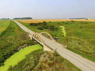 Constructed between 1919 and 1920 (Historic Sites) This attractive concrete bowstring arch bridge over the
Crystal Creek,
near Crystal City is typical of bridges from that time period. The
single arch version was used over many creeks.
Google Earth reveals what appears to be a former crossing a few km southeast of Rock Lake.at: N49.18428 W 99.01708 There would have been dozens of such crossing, used seasonally before today's grid of roads and the popularity of cars and trucks, rendered them obsolete. Traces disappear. 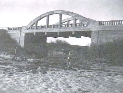 Older accounts called it the Creamery Bridge.(Photo from PMA) Felix Kuehn recorded a review of the earlier bridge at
Crystal City
that was far from appreciative...
At the townsite of Mr. Greenway, the founder of the colony, we met with an obstacle called a bridge (a misnomer) which spans Crystal Creek, and we now had the choice of climbing over the bridge, which has approaches to it similar to a good high rail fence, not quite, but very near perpendicular; on crossing the dirty creek which belies its present name of Crystal Creek most outrageously, in it being very muddy and rather alkali, and fairly stinking when stirred up, consequently we had to give our preference to crossing on the bridge. You can't please everyone. Most pioneer accounts, to their credit, detail the hardships of their journeys with perhaps an understanding of the challenges of creating transportation infrastructure in new communities. 2. Cypress Creek: Hildebrand Crossing N49.08847, W98.98378 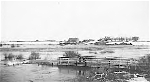 This photo from by Jacob Hildebrand shows a bridge over Cypress Creek, then called Long River, that was located near his farm between the US Border and Clearwater. 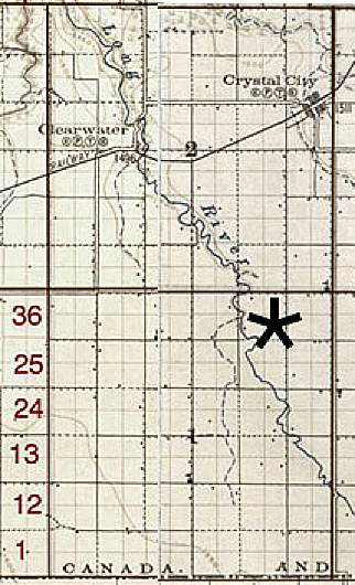 This map shows the location and Google Earth shows a bridge on the site today. 3. Cypress Creek, Clearwater N49.12532, W99.03247 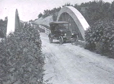 This concrete bowstring arch bridge over Cypress Creek, just south of Clearwater was constructed between 1919 and 1920, closed to vehicular traffic in 2016, and demolished in the spring of 2018. Photo from PMA 4. Cypress Creek RR Bridge, Clearwater N49.4913114. W.99.03254 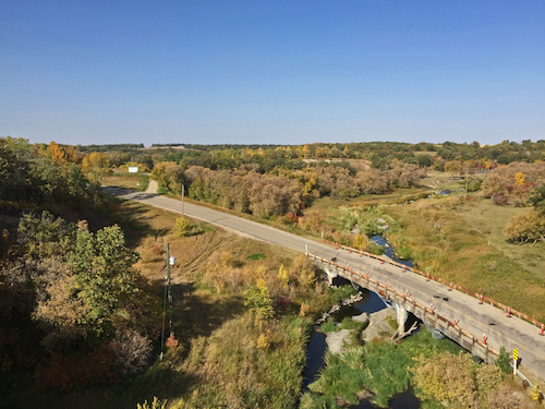 This photo shows the modern bridge over Cypress Creek, closer to the village than the previous abandoned site. It was taken from the nearby former railway bridge. 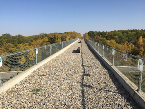 The abandoned railway bridge is now a well-conceived trail. East of Rock Lake 49.19148 W99.02012 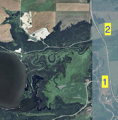 A bridge crosses Cypress Creek (1) just before it merges with the Pembina River (2) east of where that stream flows out of Rock Lake. 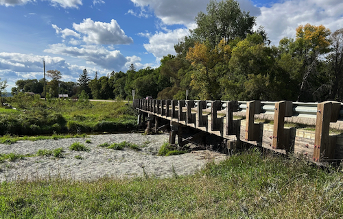 The bridge over Cypress Creek is a substantial structure for this modest waterway. But as the next photo hints, the stream can be much larger at times. 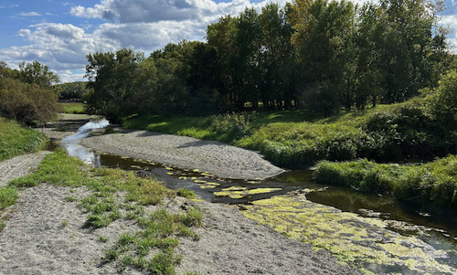 The view from the Cypress Creek Bridge near Rock Lake. 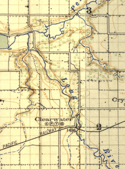 In 1922 Cypress Creek was called the Long River. At that
time the only
bridge between Clearwater and Rock Lake was just north of the village.
The only road entrance to the village was from the north - connecting
to Crystal City to the east and to Rock Lake and Glenora to the north.
This would have been part of the Sunshine Highway Route connecting
Brandon to North Dakota.
|