
Introduction | Pembina River | Cypress and Crystal Creeks Assiniboine River | Cypess River | Here & There | Sources



Introduction
| This is an exploration, as opposed to an inventory. I have
paid special attention to the main waterway affecting (and defining?)
our region: The Pembina River and its tributaries. In addition, I have
included sections of the Assiniboine and Cypress Rivers that touch upon
our region and were on routes the pioneers used too to and from our
region. I have chosen only a few selected representative sites on the smaller waterways. The Journey 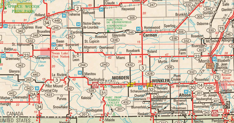 Prior to the building of railways, a traveller had few options. Many walked. “Shanks Mare” was the descriptive expression for that. If you had a horse, that made a trip much faster. If you had oxen, the trip would be much slower, but they could pull quite a load on a wagon or a red river cart. Whatever your circumstance, much of your trip throughout this land was relatively smooth going. No mountains. Marshes or swamps could be bypasses. Flat land as far as the eye could see, most days. Whatever your circumstance, much of your trip throughout this land was relatively smooth going. No mountains. Marshes or swamps could be bypasses. Flat land as far as the eye could see, most days. But pioneer reminiscence is full of tales of crossing the streams. It could be a tricky procedure. But here again, nothing quite like the raging mountain streams to the west or the muskeg and rapids of the Canadian Shield. There were bad days of course. Mosquitoes could be alarmingly voracious according to all accounts. Fierce lightning storms, prairie fires and even grasshoppers could slow you down. But compared to crossing the Canadian Shield or the Great Divide. Prairie travel was not too bad. Yes there were rivers and creeks to cross, but here again, nothing quite like the raging mountain streams to the west or the muskeg of the shield. Fords 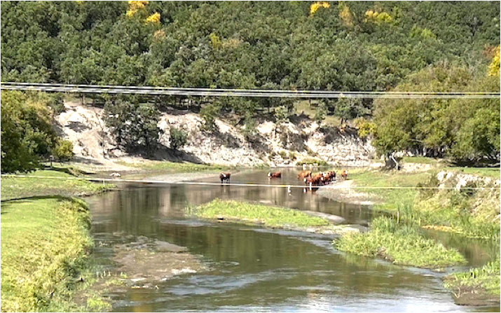 Choosing a suitable location was important. In many cases a site ideal for fording the river was not suitable for a ferry. They needed a reliable depth of water. Steep banks were avoided but marshy areas and areas prone to flooding were not good either. Strong current were a problem. Ferries 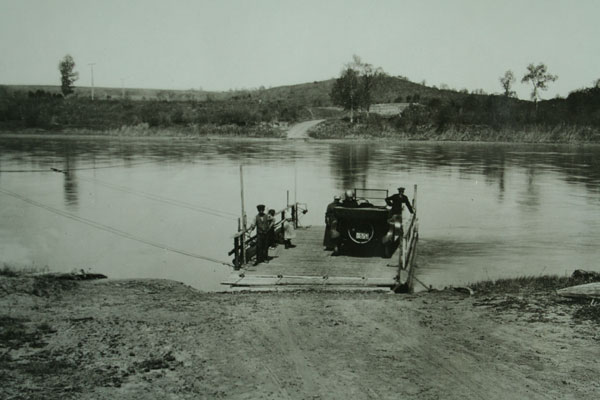 Bridges 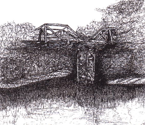 An artist's rendition of the first bridge in the Marringhurst district near Rock Lake, built in 1879 Convenient access points and a good flow mark a suitable ferry site. (Unknown Site PAM) Waterways were generally manageable and travelers, often guided by the Aboriginal people who knew the land so well, soon learned where the best crossing places were located. Although our rivers could be quite deep in places, there were also places that were shallow with a firm bottom. Places you could walk across, or take a team and wagon across. It wasn't always easy. The following account by pioneer James J. Dougall gives us a first hand description of the challenges involved in an untamed land. Proceeding slowly down the side of the valley, we arrived at the town of Pembina Crossing. This seems to be destined to be one of the chief towns in the Pembina District. An aside... Pioneers visiting or passing though those first villages in Manitoba had no way of foreseeing the amazing changes in transportation technology that was about to alter settlement patterns very quickly. It was not unusual for them to make predictions about the future of such places as Pembina Crossing. It was not unusual for them to be wrong. Railways, then automobiles, meant that the perfect locations of one era became the ghost towns of the next. What else would they have thought when this is what they encountered? "It already has two hotels, the Valley House, operated by J. Adamson and Pioneer's Rest, by J.P. Hutcheson. A flour and saw mill is in the course of construction and everything points to the general prosperity of the place. It is surrounded by one of the best agricultural districts in Southern Manitoba, and its beautiful scenery lends additional attraction to incoming settlers. ... We were warned that the bridge over the Pembina had almost collapsed and on nearing it we found this to be the case. It was shaped exactly like a W. Unhitching our horses, we led them carefully over and then returned for our buckboard. Soon a hail from an approaching immigrant indicated that aid would be acceptable to the new arrivals. Again the business of unhitching the horses and leading them over, then unloading the heavy load and carrying it across putting our shoulders to the wheels and pushing the wagon up the steep inclines of the bridge. You get the picture. |
