 Introduction | Pembina River | Cypress and Crystal Creeks Assiniboine River | Cypess River | Here & There | Sources    The Cypress River  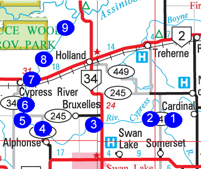 The Cypress River rises between Notre Dame and Somerset and follows a twisting westward route, passing between the small villages of Bruxelles and St. Alphonse, before turning northwards towards what would become its namesake village. 1. Beaconsfield Area: N49.49995, W98.68137 2. Norquay Area: N49.47609, W9879589 3. Bruxelles Area: N49.43284. W98.95306 4. St. Alphonse Area: N49.46309. W99.04410| 5. The Cypress River: South of the Village (1): N49.47286, W99.06430 6. The Cypress River: South of the Village (2): 49.48784, W99.07403 7. The Village Highway #2 Bridge: N49.56163 W.99.06056 Rail Bridge: N49.55499,W99.06207 8. North of the Village: 49.59117, W99.03316 9. The Last Bridge : 49.66718, W99.93761 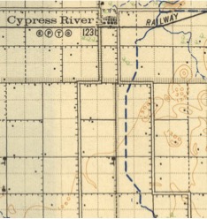 When the residents of that town created by the CPR line in the mid 1880's discovered is that frequent flooding was a problem, the municipality changed its course as noted by the dotted line, and it now passes to the east of the village. We will trace some of the highlights of the journey. 1. The Cypress River: Beaconsfield Area N49.49995, W98.68137 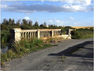 This concrete beam bridge over the Cypress River was built in 1921 on the main route between Treherne and Somerset. The route has since been bypassed by PTH 242 one mile to the east. (Photos from Historic Sites) 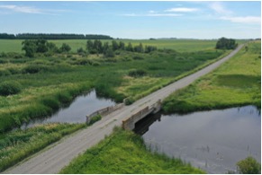 2. The Cypress River: Norquay Area N49.47609, W9879589 The village of Norquay, was founded around 1880, and named for former Manitoba Premier John Norquay. The village wasn’t viable for long but the community, centred around a Church and School, was active for some time. It was one of many communities that disappeared when the arrival of railway lines created new villages. The site is notable because it was the first village in the general region. 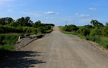 ' Near the abandoned village of Norquay. 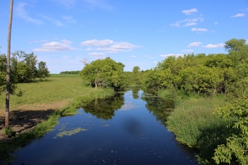 The view from the bridge. 3. The Cypress River: Bruxelles Area N49.43284. W98.95306 There are many bridges over the Cypress River, considering
that it is
not a large stream as rivers go. There are at least two reasons for
that. First - it is generally a narrow stream through flat farmland
and/ or a pleasant wide valley. Bridges over such streams are
fairly easy to build and maintain. Also, for much of its journey it
passes through good farmland that, especially in the settlement era was
well populated. There were at least one or two farms on each section.
They needed efficient access to markets and the tax base supported
building bridges. We will look at some of he more interesting examples.
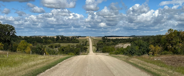 South of Bruxelles the Cypress River passes through a wide scenic valley. 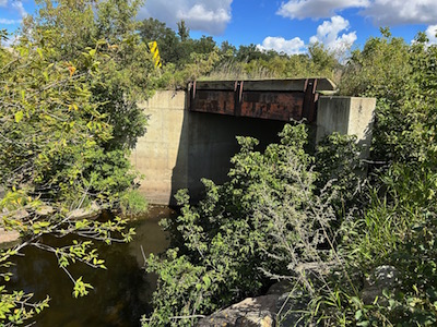 Here the river bed is steep but narrow. The bridge builder had to use only a single span requiring only sturdy abutments on either side. 4. The Cypress River: St. Alphonse Area N49.46309. W99.04410 This site north of the tiny village of St. Alphonse is an example of a level approach to the river that rolls in a modest valley as it approaches the village of Cypress River. 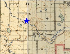 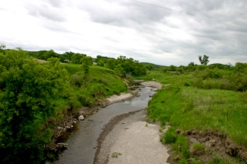 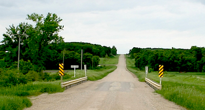 5. The Cypress River: South of the Village (1) N49.47286, W99.06430 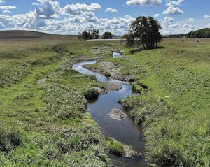 The project to straighten and re-route the Cypress River started about 10 km south of the village. This bridge, near the start of that alternate route show the change. THis is more of a ditch than a valley. 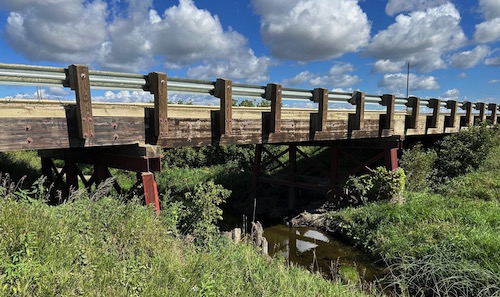 A sturdy modern bridge is necessary for heavy farm machinery and the increasingly large truck used to haul grain. 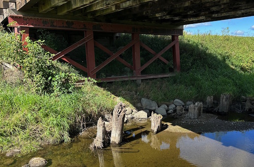 Beneath the bridge is the evidence of an earlier more modest structure. 6. The Cypress River: South of the Village (2) 49.48784, W99.07403 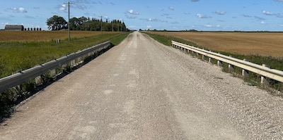 A little closer to the village is another modern bridge. 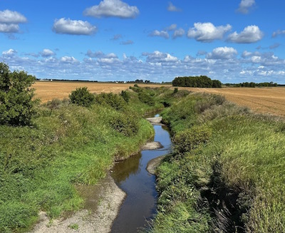 At this site it is even more obvious that the river has lost its character. It no longer flows in an attractive valley. It seems more like a drainage ditch than a natural waterway. And so it is. 7. The Cypress River: Highway #2 Highway #2 Bridge: N49.56163 W.99.06056 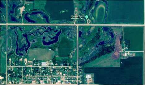 Using perhaps a little imagination one can trace possible routes of the river as it was when the residents decided to solve the problem of recurring floods. An Aside....
My family and I used to live in Cypress River, long before I knew much about its history. We lived at the very NE edge of town right where you can see a remnant of the former stream. It bordered our property and I remember wondering that this virtual empty channel seemed designed for a more serious waterway. Turn out I may have been on to something. 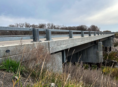 A modern bridge spans the river just east of the village. 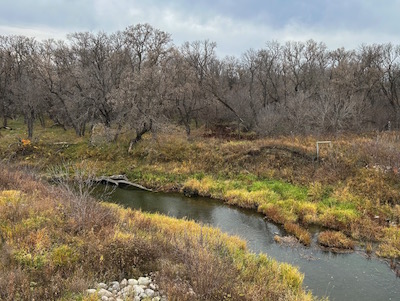 There is evidence of a previous bridge to the south of the current bridge The Cypress River: Rail Bridge N49.55499,W99.06207 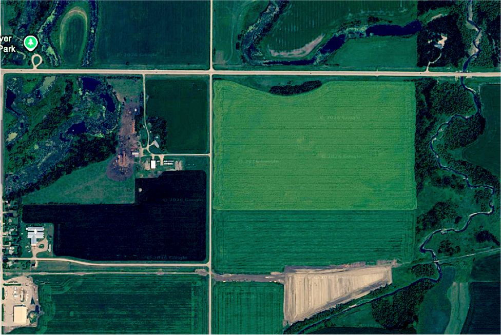 This image continues our view eastward from the village The "new" channel runs straight along the right side of this
image
where it crosses, first and abandoned roads straight Highway #2.
Note the abandoned railway crossing in the bottom right corner. Access
to it from the village has been blocked since the right of way was
sold. Locals assure me that the bridge is still intacy,.
It appears that the ditch builders made use of a tributary for the last stretch of the re-route. All in all, a great example of pioneer era engineering.
8. The Cypress River: North of the Village (1) 49.59117, W99.03316 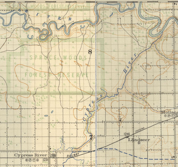 The map from 1922 show a crossing 2 miles north of the highway and no other until it is near its confluence with the Assiniboine. Back within its natural banks for the final leg of its journey the river valley becomes deeper and wider as it makes it descent into the Assiniboine Valley. 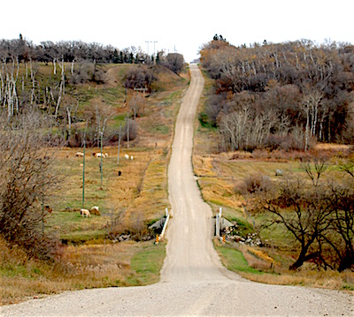 A modern bridge through a scenic valley. 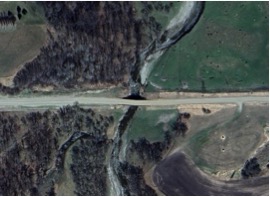 9. The Cypress River: The Last Bridge 49.66718, W99.93761 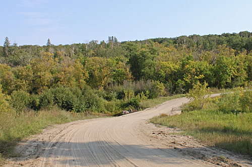 Today the closest bridge to the mouth is a humble concrete
structure on
a road that doesn't see much traffic. Crossing such as this are found
on less travelled roads, essentially just culverts cased in concrete.
The area along the fringes of Spruce Woods Provincial Park, the northwest of the river as it makes its way to Highway 2, is sparsely settled. As far as we know there have not been any other bridges built. Improvised crossings would suffice in most seasons. 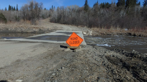 The river in late summer and fall can slow to a trickle, but spring runoff can present a challenge. 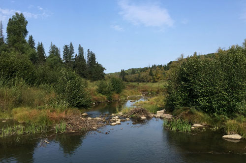 The view from the bridge later in the summer. A Pioneer Story In 1893 Constant Delichte, his family moved to Cypress River
from Near
St. Alphonse. They travelled with his brother, Leonard and Louis
Brabant. As they approached the village they had to cross the river. In
those days the river was still in its natural course.
They made a bridge of logs put together with wooden pegs, it was more like a ferry. Leonard said to Louis, "You do the driving, I'll use a club to hit the animals across." On their return the bridge turned over, as they came to the banks, wet of course and they had to push the wagon on its way again; the mosquitoes were unbearable. As we have noted pioneers crossed streams any way they could...today's travellers can follow that example. A Last Look 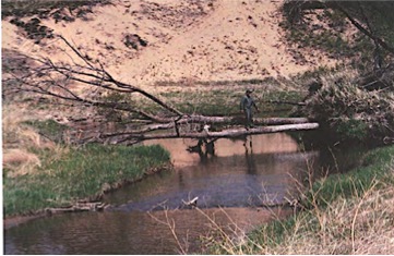 A "tree" bridge over the Cypress River located just upstream
of its
confluence with the
Assiniboine River, north of Holland, Manitoba. Rev. Gerard De Ruyck is making his way across. A beaver dam can be seen immediately upstream of "Mother Nature's Bridge". Taken by Rev. Firmin Michiels, in the summer of 1991. |