
Introduction | The Assiniboine | The Souris | The Little Saskatchewan | The Boundary Trail | Here & There
The
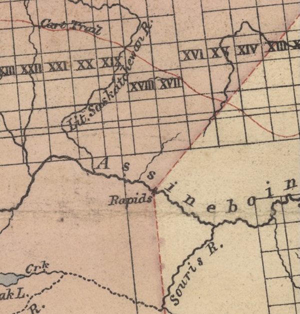
Assiniboine River
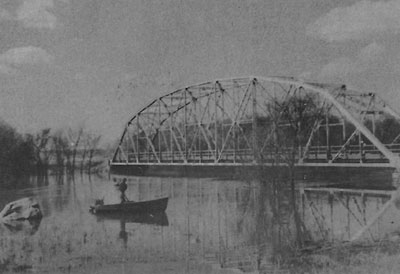
The Assiniboine rises in east-central Saskatchewan. For much of its length in Manitoba it flows though well-populated farmland. In ages past many fur trading posts, ferries, crossings, and landings were located on its banks. 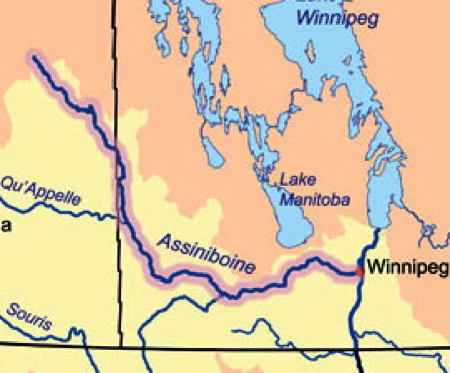 Such vessels were introduced on the Red River in 1857 and started regular service on the Assiniboine in 1878. Their use coincided with the first wave of European settlement in Manitoba. 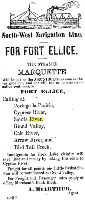 Winnipeg Times, April 27, 1880 A survey of any local histori history volume produced in Southwest Manitoba with uncover numerous accounts of settlers taking the steamer from Winnipeg. 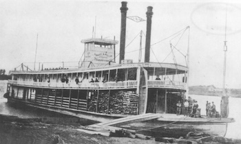 The "City of Winnipeg" at Grand Valley (Photo - Archives of Manitoba) |
The Assiniboine River Part 1
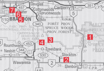
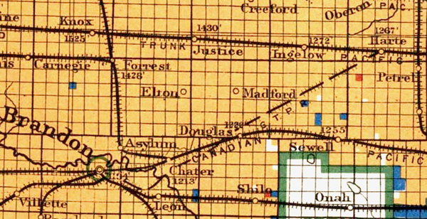
1. Steel's Ferry: N49.69538, W99.20630
2. Stockton Ferry: N49.60605 W99.44181
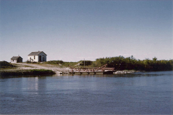
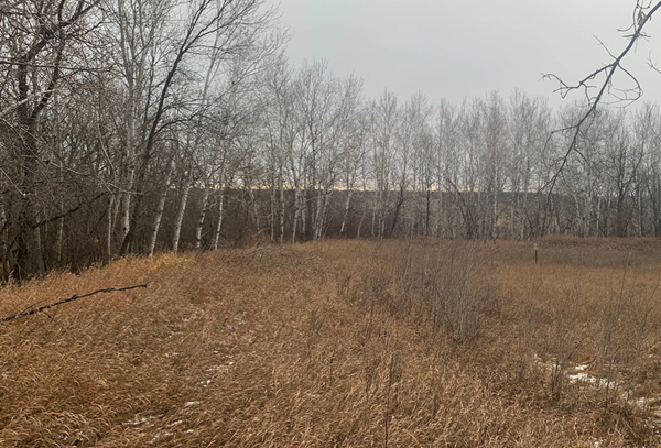
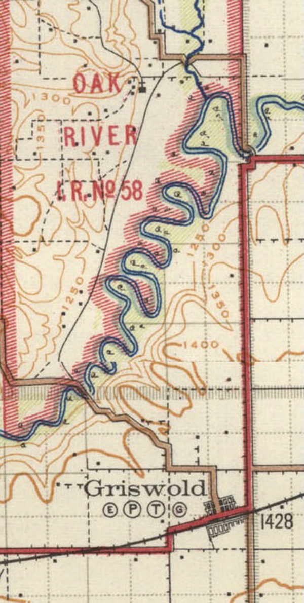
3. Souris Mouth Ferry: N49.66643 N 99.569585W
Photo taken from the north. The ferry was to the right with access to the the Land Tiltes Office on the south side (top) of the Assiniboine.
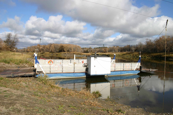
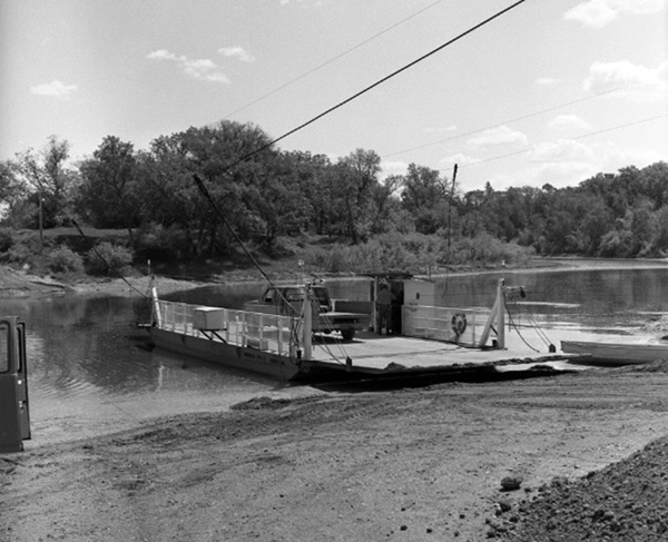
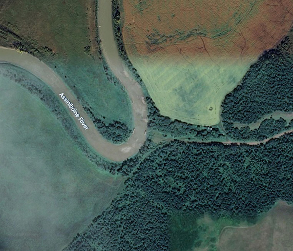
4. Treesbank Ferry: N49.66386, W99.60142
5. Currie's Landing Ferry: N49.80390, 99.79460
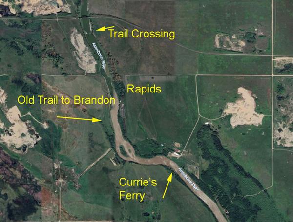
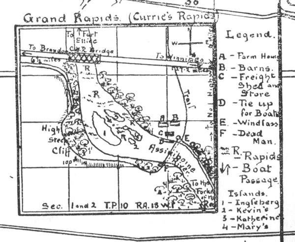
6. The Brandon Rapids Crossing: N49.818202N 99.808192W
7. The Grand Valley Ferry: 49.84879, W 99. 89484
For more info (pdf) ...
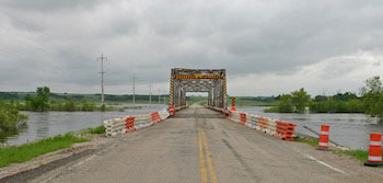
The Assiniboine River Part 2
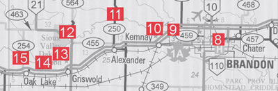
8. Brandon Crossings
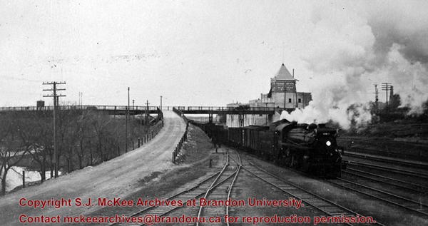
9. Highway #1 - West of Brandon: N49.86843. 99.10000
2011
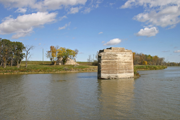
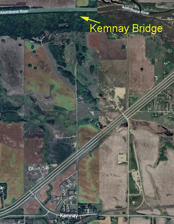
10. Kemnay Bridge
\
11. Highway #250: 49.89919, W100.30151
12. Hall's Bridge Sioux Valley: N49.89929, W100.30146
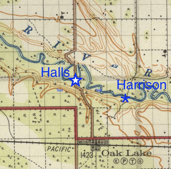
13. Skinner's Bridge: N49.796771. W100. 50760
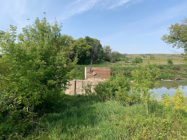
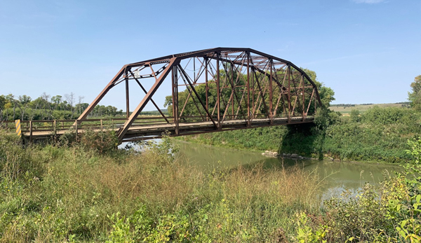
14. Harrison Bridge: N49.78773, W100.60662
15. Bridges north of Oak Lake: N49.79446, W100.64370
For more info (pdf) ...