 Introduction | The Assiniboine | The Souris | The Little Saskatchewan | The Boundary Trail | Here & There The Souris River The Souris has its origins near Weyburn, Saskatchewan, dips into Montana and North Dakota before entering Manitoba south of Melita. What we in Manitoba see of the Souris is only the final 1/4 of its length. From the Manitoba / North Dakota border to the town of Souris the stream is gentle with wide meanders as it snakes its way through the Souris Plains. This makes crossing it relatively easy and it is spanned often by bridges. From Souris to the spot near Treesbank where it empties into the Assiniboine, it often travels in a deep wide valley. That makes crossing it a bit more of a challenge. First, you have to climb in and out of the valley. Today, between the town of Souris and the Assiniboine River, there are only six bridges in use, with two of them being at Riverside, where an old bridge is kept for local use. Two other former bridges were damaged in flooding in 2011 and haven't been replaced. 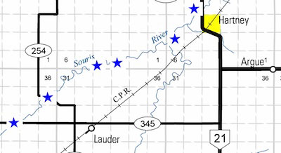 By contrast, a short stretch of the river between Lauder and Hartney has six bridges, each of them still in use. From Souris to the spot near Treesbank where it empties into the Assiniboine, it often travels in a deep wide valley. Its path includes the Souris Bend Wildlife Management Area, a huge tract of uninhabited land between Margaret and Wawanesa. 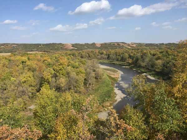 The Souris Bend Wildlife Management Area That makes crossing it a bit more of a challenge. First, you have to climb in and out of the valley. On the other hand crossings are a bit less necessary with the lower population density. There are no riverside towns between Souris and Wawanesa. Today, between the town of Souris and the Assiniboine River, there are only six bridges in use, with two of them being at Riverside, where an old bridge is kept for local use. Two other former bridges were damaged in flooding in 2011 and haven't been replaced. 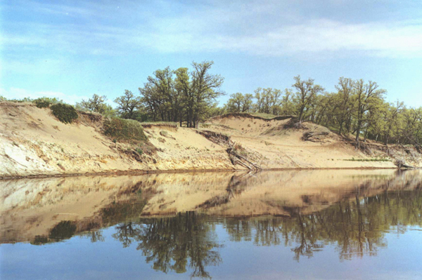 The Souris River in the sandhills north of Lauder. 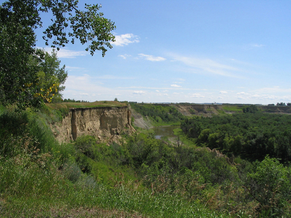 Wawanesa 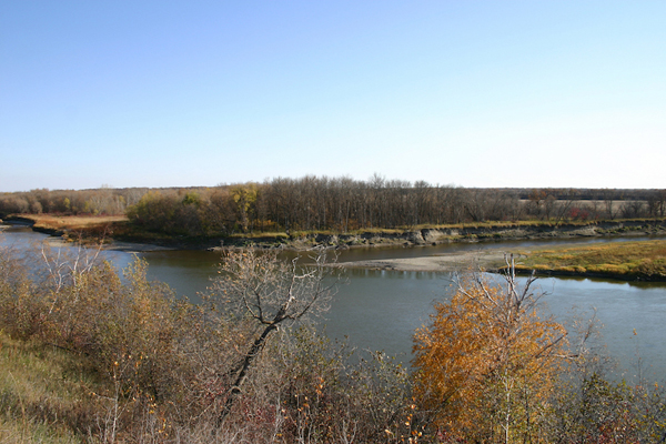 The Souris entering the Assiniboine. The photo was taken from an easily accessible point in the Assiniboine Corridor Wildlife Management Area. Souris River Part 1 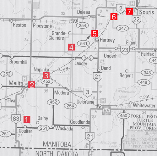 1. Sourisford Boundary Trail Crossing N49.15129, W101.00775 Bridge: N49.15169, W101.00782 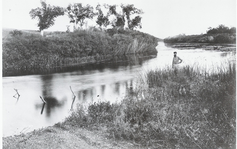 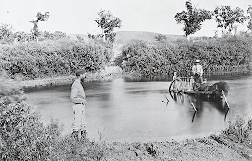 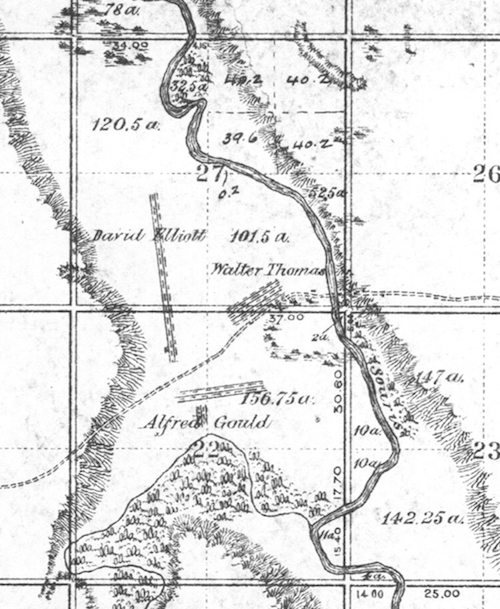 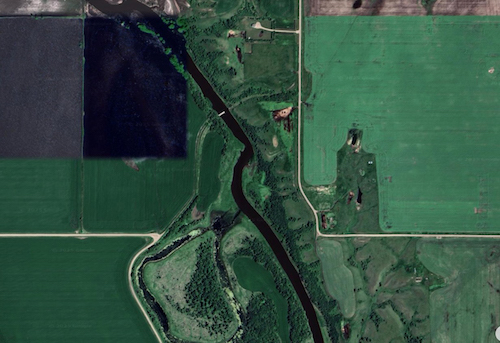 2. Melita: N49.27648, W100.96330 The first bridge. 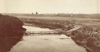 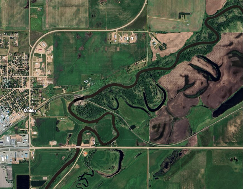 3. Napinka: Former Bridge Site N49.33278, W100.85020 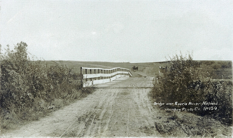 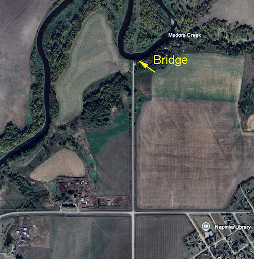 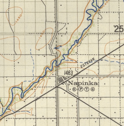 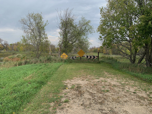 4.Lauder Area Bridges 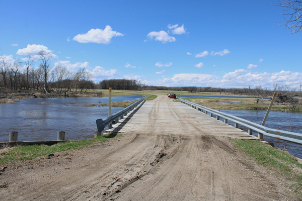 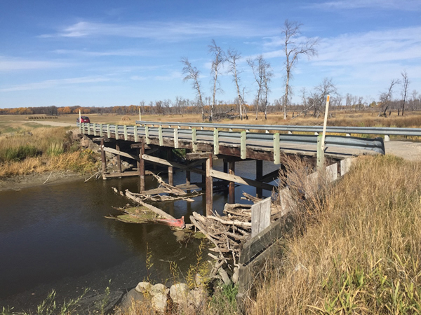 5. Hartney: Fords and Bridges N49.48788, 100.53431  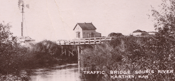 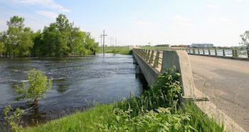 The current traffic bridge. 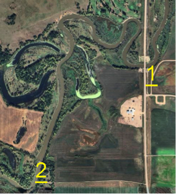 1 Spencer's Crossings 2. Fry's Crossing 6. Menteith Area Bridge and nearby Fords N49.57852, W100.414812 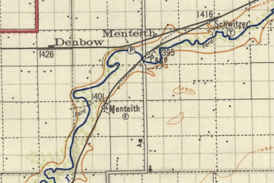 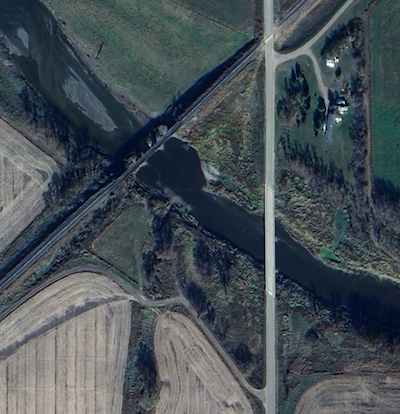 7. Souris Ferries and Bridges The "Steel Bridge" 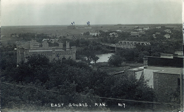 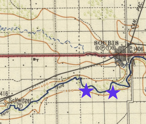 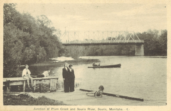 \ 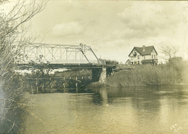 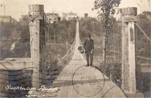 For more info (pdf) ... Souris River Part 2 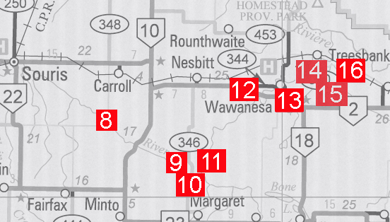 8. Bunclody: Ferries, Road Bridges & a Rail Bridge Site Thr railway line and bridge site. The Osborn Ferry: 49.535990. 100. The McGill Ferry: 49.54625 100. 08618 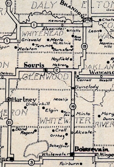 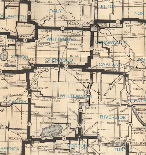 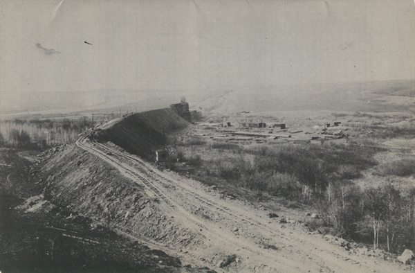 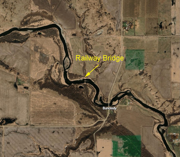 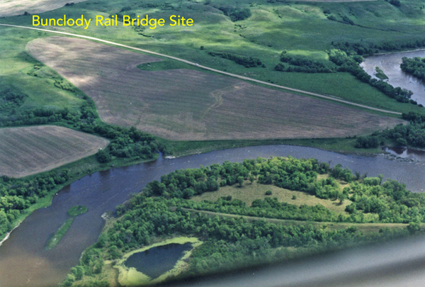 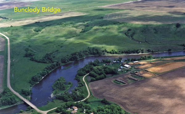 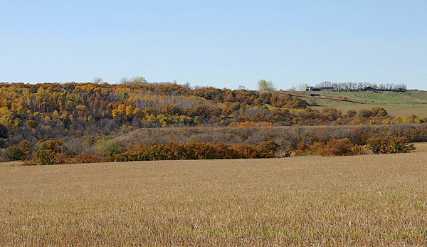 Riverside: Three Bridges & a Ferry site N49.49828, W99.98280 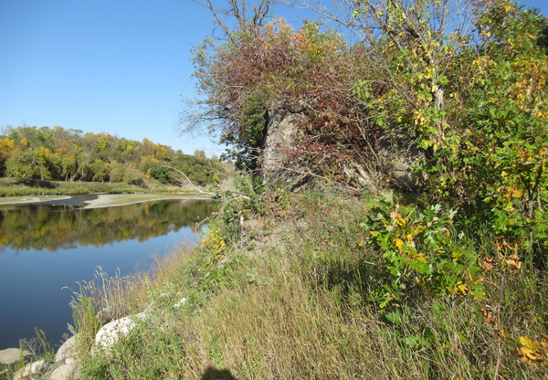 Traces of the bridge at Sheppard's Crossing 1904 - 1928.  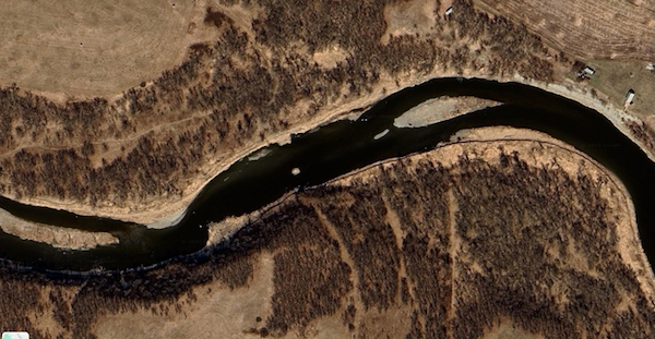 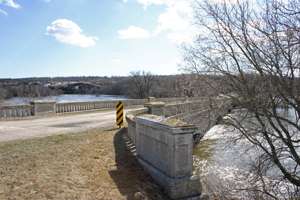 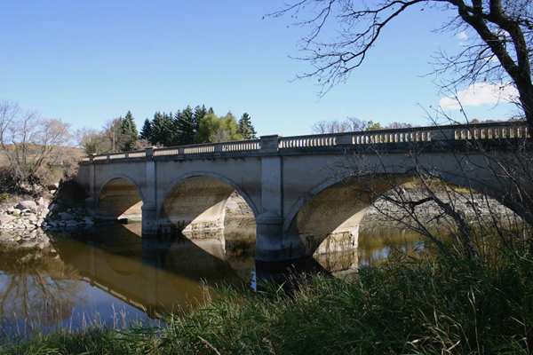 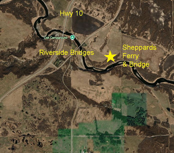 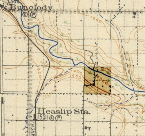 10. McKellar's Bridge: N49.46201, W99.87377 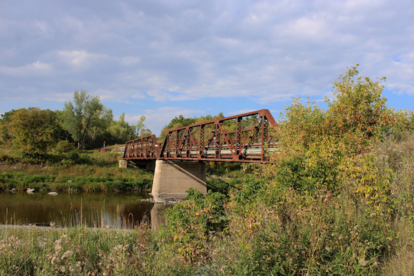 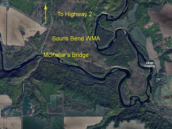 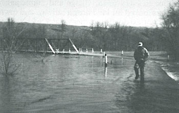 The flood of 1986 11. Lang's Crossing: Ford N49.45977. W99.84417 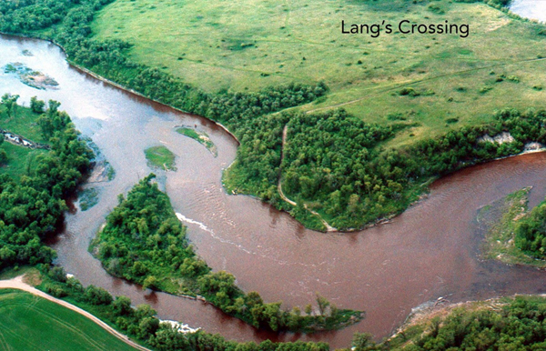 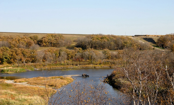 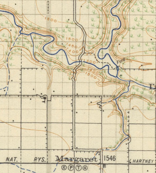 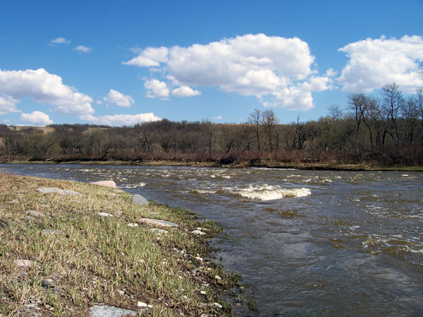 12. Souris City: Ferry & Bridge site N49.57723, W99.73178 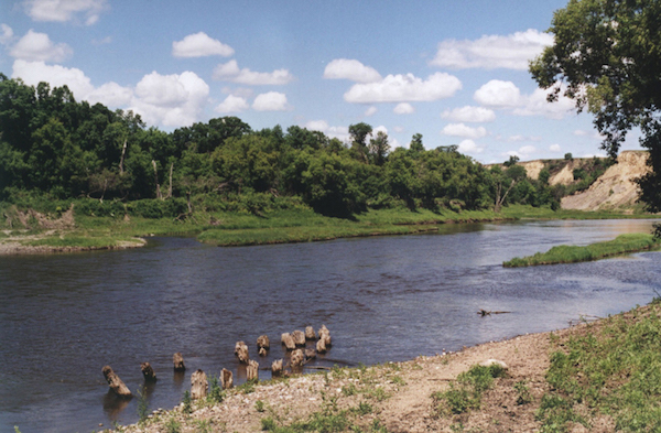 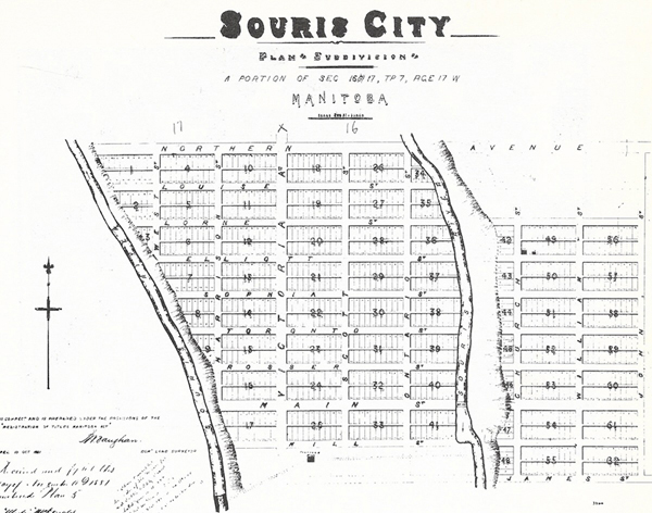 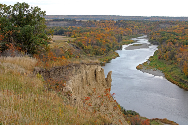 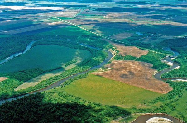 The village of Souris City was near the bottom left. 13. Wawanesa: Road and Rail Bridges 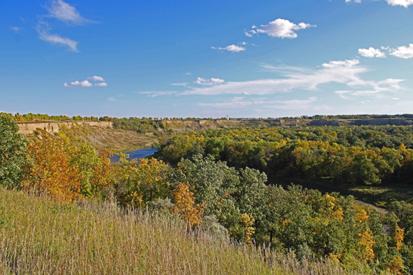 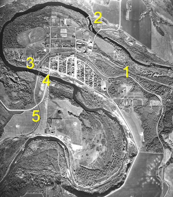 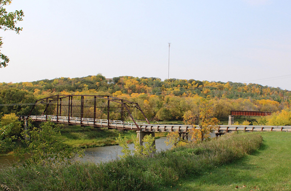 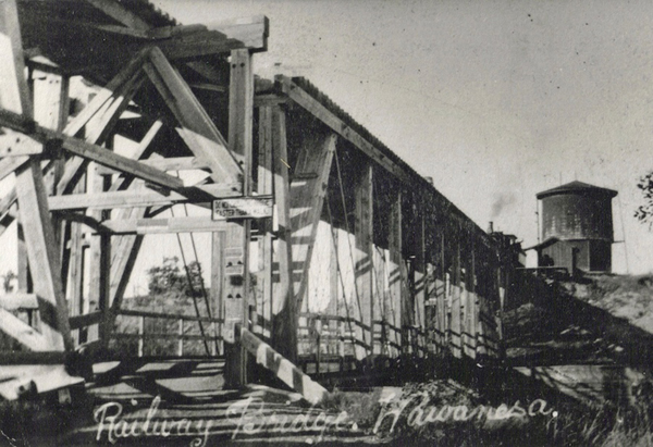 \ 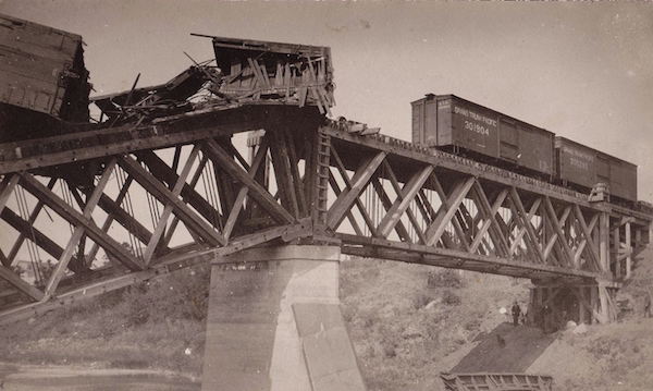 Train wreck in 1924. 14. Treesbank Bridge: N49.62798, W99.59883 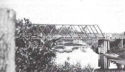 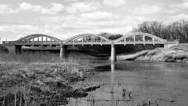 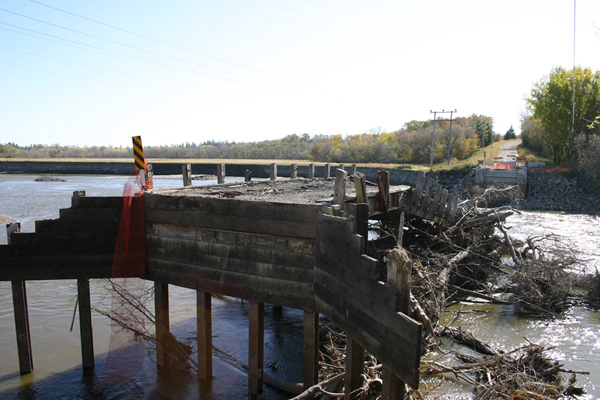 After the flood of 2011 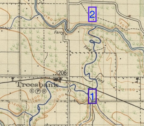 15. Millford Village Crossings: N49.621565, S99.537819 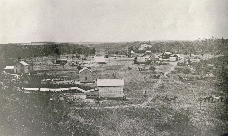 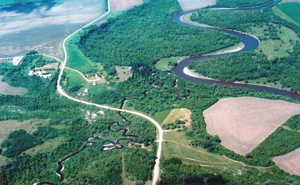 The village was near the centre. 16. Millford Rail Bridge: N49.62789, W99.57183 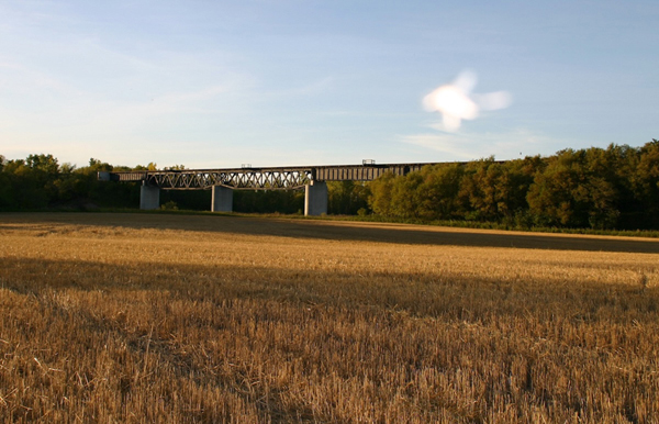 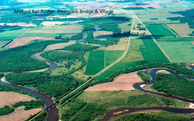 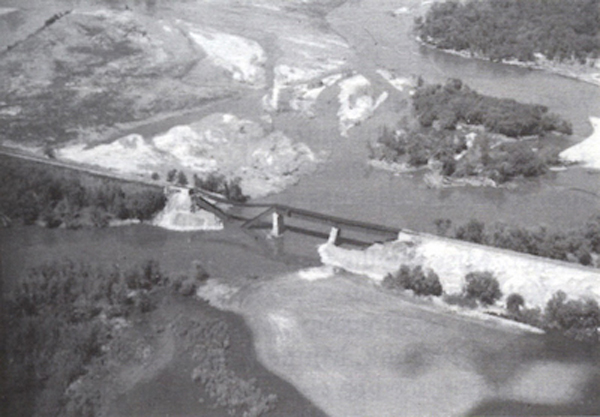  Bridge built in 1891  For more info (pdf) ... |