Things to
do with Maps
**This is by no means an exhaustive list, but rather some starting
points offered without any deep thought or field testing. I’m sure that
collectively we can do much better, and that even the ideas that prove
useful will need fleshing out.
1. Ask what names of geographical features have changed.
2. Have them place modern villages and towns on pre-settlement maps
**See the “Up – To – Date” or “Updates” Project in the
Project List
3. Find an unusual twist and turns in a rail line – ask why.
4. Teach the section – township – range format for identifying
locations. A quick activity would be to map locations when given the
S-T-R. numbers, and the reverse – given a municipal map with locations
marked – give the S-T-R location.
5. Place the neighbourhood on a map. (Start small to build basic
skills.)
6. Have students make “Then” and “Now” map sets for the town or the
region. Fire Insurance Maps exist for many communities that would be
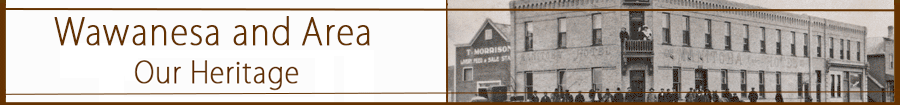
quite useful. (Wawanesa, Rivers, Virden are currently available.)
7. Have the students create a series of “Transportation” maps for you
region that show the transition from Cart and Boat routes, to Rail
Lines and to Roads.
8. Connect maps to photos by creating illustrated maps featuring
settlers, buildings, and geographic features. This can be done with
paper and glue – or using a variety of computer application.
9. Getting There in.. 1881 (1892, 1907….)
Select a trip that early settlers might have often taken, from your
home town to Brandon for instance. How would you trip be different as
we move through the decades?
Consider:
Route
Method
Time
Stops
Cost
Possible Difficulties
10. Make an illustrated route map for a trip to another village or town
in 1890 – what would one see and experience along the way. What things
from today would be there?
Things to do with Topographic Maps
**This is by no means an exhaustive list, but rather some starting
points offered without any deep thought or field testing. I’m sure that
collectively we can do much better, and that even the ideas that prove
useful will need fleshing out.
1. Which way does the river flow?
2. Using a simply version of a topographical maps examine the idea of
drainage. Start at home. When rain falls – where does it go?
3. Chart the direction of local and regional streams
4. Using simple colour-coding create drainage maps (estimate the area
based on the maps and other evidence.
5. Explore the idea of “Height of Land” and “Divides” using the
Continental Divide and the Grand Couteau as examples. Trace local
“heights of land” such as the divides in Westman between the Souris and
Assiniboine Basins. Use local examples. Eg. If rain falls on (a
neighbouring town or landmark) which creek or stream gets the water.
|