

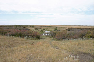
Butterfield Post Office Site
36-1-29
1884
GPS: 49* 4.857’N 101* 14.417’W
Henry Dann and Dr. Joseph Dann emigrated from Tipperary, Ireland.
Henry married Margaret Ann Pew in 1879, three of their ten children,
namely Joseph, John Henry and James Alfred (who died in infancy) were
born when they lived at Muskoka. In 1885 when Henry Dann, his wife and
family homesteaded on SE 36-1-29 Thomas, Eva, Olive and Grace were
born. The family kept the Butterfield Post Office and had a Stop-over
house on the Boundary Commission Trail. Dr. Joseph Dann homesteaded NE
36-1-29. The Danns moved to the Thirlstane School District in the
Deloraine area about 1890.
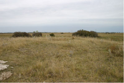
This appears to be the remains of a sod hut.


Copley Anglican Church Ruins
SE 14-1-29
301.B.1
1892 / Deconsecrated 1913
GPS: N49.03012, W101.25183
St. George’s Anglican Congregation
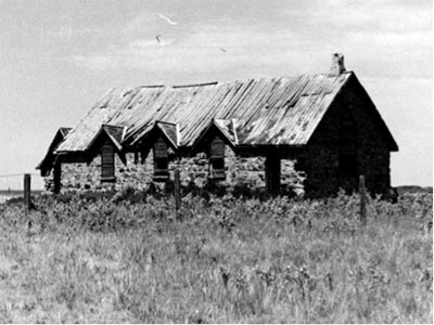
Copley Anglican Church, erected in 1892 (1967)
Mb. Archives


Copley School
SW 16-1-29
Moved from S 4-1-29
301.E.1
1894
GPS: N49.02974, W101.31080
Named after Edward Copley, 1889 pioneer who homesteaded the half
section.
First teacher – Jennie Beveridge
The Copley School District was established formally in January 1895,
named for local homesteader Edward Copley Thompson, and it operated a
school in the Rural Municipality of Edward. Located initially near
S4-1-29W, it was moved to SW16-1-29W in 1931. The school closed in
1956. As of 2012, the building still stands on the site

Copley Cemetery
SE 14-1-29
301.F.1
1892


Lyleton Cemetery
NE 10-1-28
301. F.4
1890 -93
GPS: 49* 1.785’N 101* 8.938’W
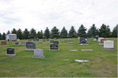
Land obtained from Mr. A.M. Lyle


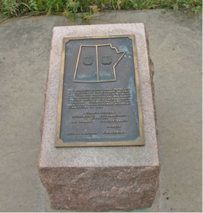
Border Monument
SE6-1-29
301. F.5
1925, 1970
GPS: 48* 59.972’N 101* 21.722’W


Leech Farm Site
Large barn with original siding and features
Newer roof

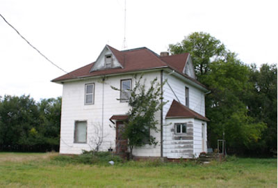
Amos Lyle House
1910’s
Build by Amos Lyle

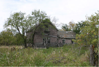
Don Murray Farm House
1900’s

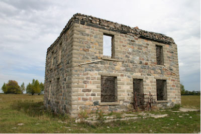
Lyle Stone House
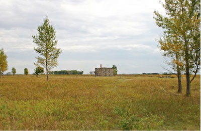
Burned out
Faces the USA Border
Location of smuggler’s stories

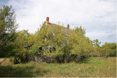
Henderson Homestead
Joseph Henderson
Early settler and Reeve of the old R.M. of Arthur
Also the site of smuggling stories
Joseph was councillor in the original Arthur municipality and helped
choose the names for Arthur and Edward municipalities at the time of
the division. Later he was reeve of the Edward municipality for several
years

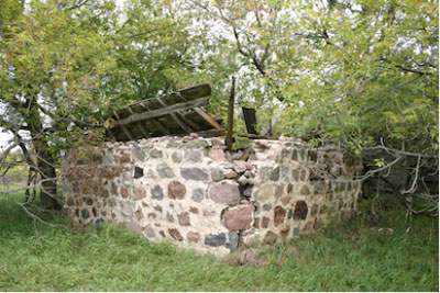
Moore Farm Site & Ice House
Property owned by W.White. sold in 1926 to Robert Moore
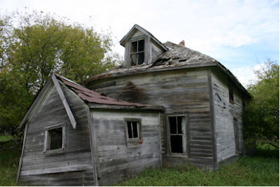
Buildings include a stone ice house, frame house and poured concrete
outbuilding.
Ice was brought in from the nearby creek each winter.
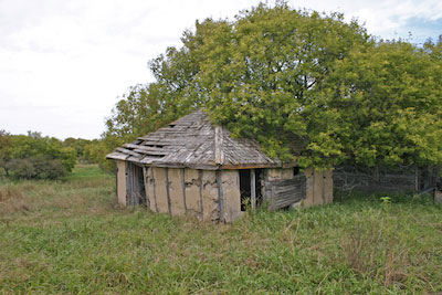
Poured concrete outbuilding

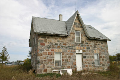
Reekie Stone House
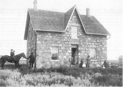
In 1900 Philip Reekie had Mason Ken McLeod –and carpenters, Dick &
Jack Murray build this a large two-storey stone house.
As years passed, improvements were made-water was piped into the house
and about 1914 a power washer with gasoline engine was in use. In 1917
a Delco lighting plant was installed. With electric lights in the house
and barn, also, a yard light, the days of the sod shanty and coal oil
lamps were past.

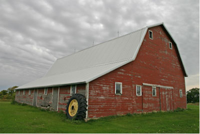
Wes Foster Barn
Built by Wes Foster

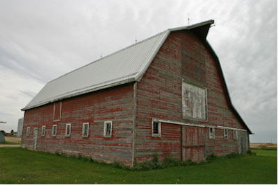
Buick Barn and Farm Site
Vacant, but in good condition.
The Buicks were early settlers

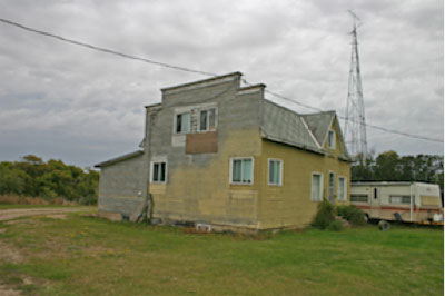
Former Antler Store
Store moved from nearby Antler ND and converted as a farm residence.
Home to the Buick family for many years.
Traditional false front small business structure. Likely added to a
residence.
Situated along South Antler Creek – very close to Border.


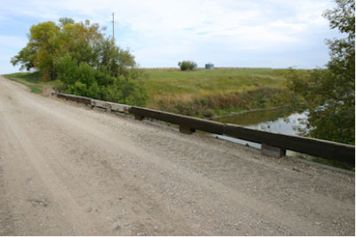
South Antler Creek Bridge
SE 9-1-28
301. M.1
1920’s
GPS: 49* 0.954’N 101* 9.633’W
South Antler Creek


Antler Road Crossing
W 6-1-28
ca. 1920
GPS: 49* 0.340’N 101* 15.003’W
Site of a bridge on the old road to Antler N.D. about 1km from
the border.
Approaches remain but no structure is evident in 2016.
Also site of the Tooke Homestead.

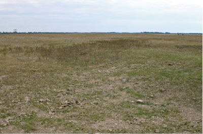
Griffith Cabin Site
Josh Griffith, a WW1 Veteran and remittance man, was so distressed by
news of WW2 that he dug a WW1 style trench
in from of his small cabin.
Traces remain.

|

