T13.
Map
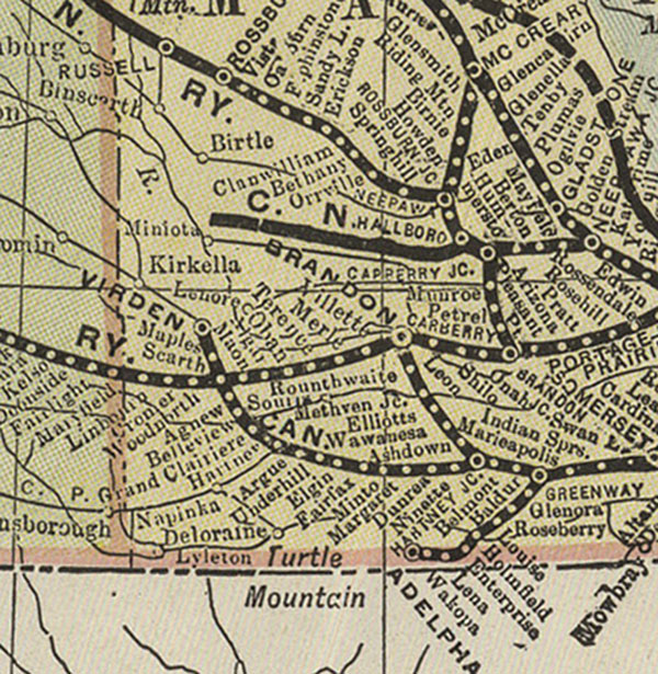
Shewing the Canadian Northern Railway and Connections [1908]
Stovel Company. Map Shewing the Canadian Northern Railway and
Connections [map]. 1:6,336,000. In: Canadian Northern Railway Company
Dept. of Publicity and Industries. A Mile a Day for Twelve Years : How
a Country Within a Country has been Opened up by a Railway that has
Grown from Nothing in 1896 to be the Second System in Canada the
Canadian Northern. Toronto: Canadian Northern Railway Company Dept. of
Publicity and Industries, 1908.
Shows Constructed Lines, Lines Under Construction and Proposed Lines
Image Courtesy of University of Manitoba Archives & Special
Collections
http://www.flickr.com/photos/manitobamaps/3815194348/
|