
Norquay
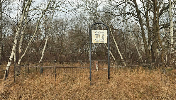
http://www.mhs.mb.ca/docs/sites/norquaycemetery.shtml
N49.47980 A98.78053
A small cemetery located about 12
kilometres west of Cardinal is the only landmark remaining of the
village of Norquay, Charles Holland and Thomas H. Pentland
selected the site based upon on rumours that a railway would pass
through the area. It was named for former Manitoba Premier John Norquay.
It was one of many communities that disappeared when the arrival of
railway lines created new villages.
Although some distance from Cardinal, the site is noted here because it
was the first village in the general region.
For a more complete history visit:
http://www.virtualmanitoba.com/Places/N/norquay.html
Beaconsfield
Numerous pre-railroad communities
began as a post office. Some, like Beaconsfield, would have a few
commercial services. E.J. Folkes operated a saw and shingle mill. James
Gorrie was the blacksmith. Most of these communities never became
villages, as we know them, with streets and storefronts. The original
settlements may have disappeared from the maps, but they retained their
identity as communities.
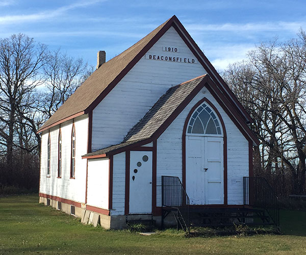
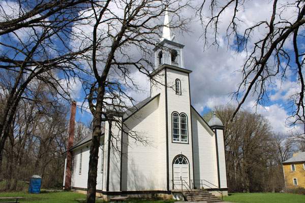
Beaconsfield
United Church (November 2016)
Source:
Neil Christoffersen
N49.50203,
W98.70472
The Beaconsfield Church was built
in 1903 & 1904.
Presbyterian and Methodist services were held here. Rev. H.SA. Barton
was the Methodist Minister. The Episcopal Church held services on
alternate
Sundays.
It became a Methodist church in 1910 and Beaconsfield United Church in
1925. Regular services were discontinued in 1955.
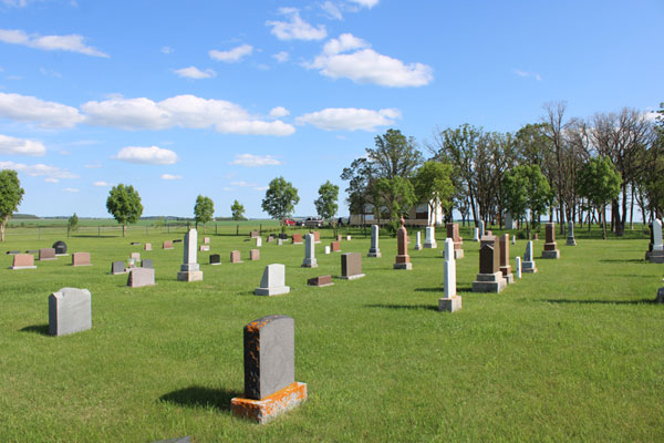
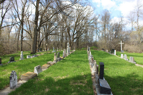
Beaconsfield
United Cemetery (July 2022)
Source:
Ken Storie
The earliest burial in the cemetery occurred in 1883.
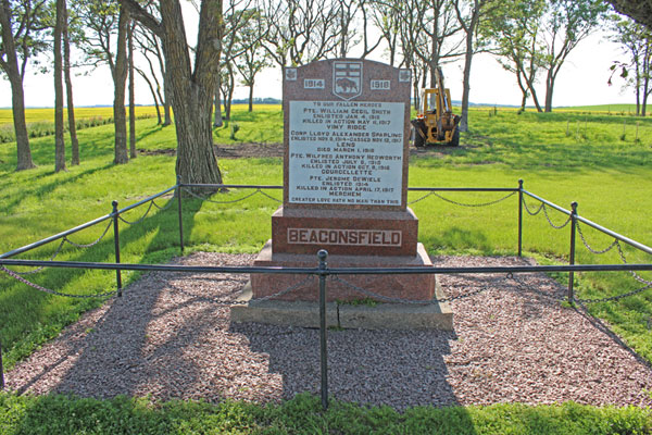
A Military
commemorative monument is also on the site
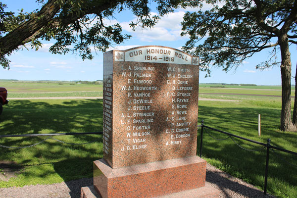
A
monument on the grounds was dedicated in June 1921.
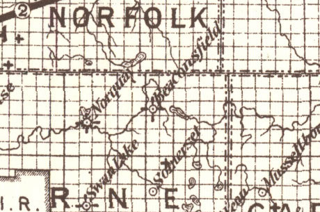
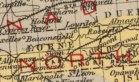
This map from 1887 shows both Norguay and Beaconsfield. The
symbols indicate that Norquay had a school, post office and
gristmill. Beconsfield had a school and post office. Note that
Notre Dame and Cardinal don't yet exist and Somerset was just a post
office.
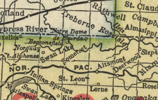
Norguay and Beaconsfield are still on the map in 1893, but their
businesses
have closed and Notre Dame has appeared.
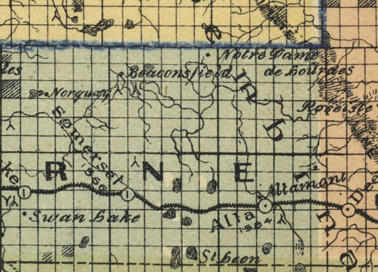
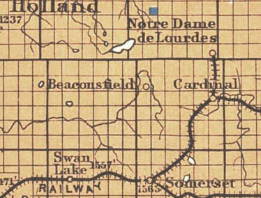
In 1897 Norquay is still on the map. The post office, school and
neighbourhood Anglican Church were still in use.
By 1907 Norquay had faded away as the rail lines had
created new towns. The post office closed in 1905.

Notre
Dame des Lourdes
The Cardinal area was part of the Notre Dame De Lourdes Parish.
The first settlers, from Quebec, arrived in the 1880s. The village was
established in 1891.
The post office was established in 1892 on 36-6-9W. Father Dom Benoît
became the parish's first priest after arriving with French and Swiss
immigrants. He also established a seminary of the Canons Regulaires
with about 30 students but changes to the rules from Rome caused its
dissolution.
The railway from Stephenfield to Somerset established Cardinal in 1905,
and a CNR line was added connecting Nortre Dame in 1912.

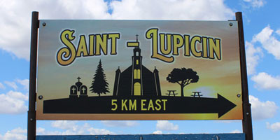
St. Lupicin
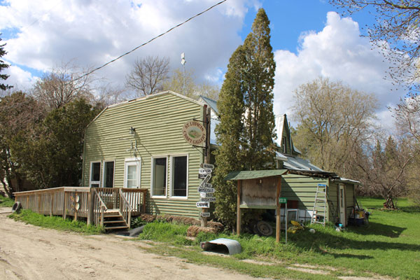
The first settlers came from France in 1891. A school called Faure was
built in 1898. Catholic services were held in homes near the school and
a Chapel was built in 1908. A post office on SE 1/4 Sec. 9, Twp. 6, was
opened in 1923
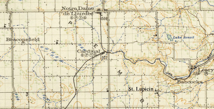
The Region in 1920

Babcock
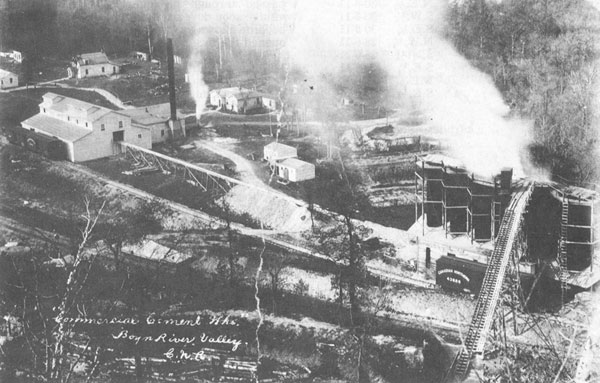
Commercial Cement At Babcock
Babcock got its name from the man who owned land. The Commercial Cement
Co. began operating in 1907 and closed down in 1924. The material from
which the cement was made was taken from deep in the hill south of the
railway, and was hauled out on horse-drawn carts on the miles of
rails which were laid in the mine.
It was large operation that, at its peak, employed fifty people. When
the plant closed the station soon closed and buildings were moved away.
|
|

