 |
The Souris Bend
See Also:
WMA's - A Treasure in Distress
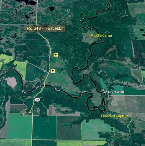
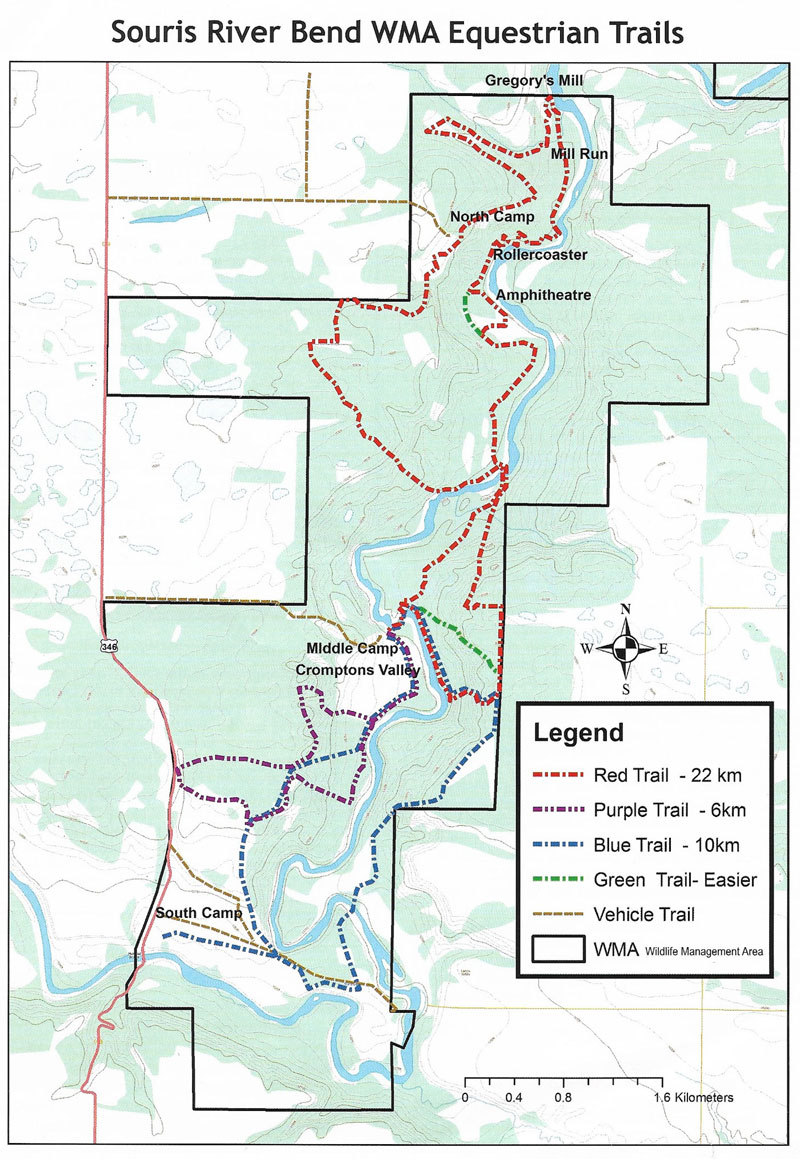
A network of trails has been
established in the Souris Bend Wildlife Management Area. They are
a combination rough, at some times barely defined, trails
designed primarily for horses, old cart tracks, and road allowances.
They cross some of the most rugged and beautiful terrain in Manitoba.
 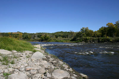 Rapids from upstream 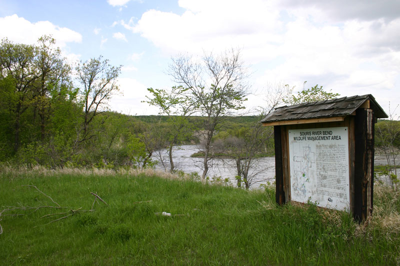 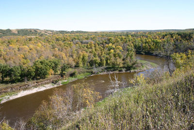 9. About a kilometre downstream looking back |
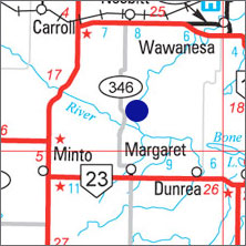
G.P.S.
Start of Trail:
49* 27' 52.62" N
99* 52' 20.42" W
Rapids & Crossing
49* 27' 39.32" N
99* 50' 38.94" W
Web Page...