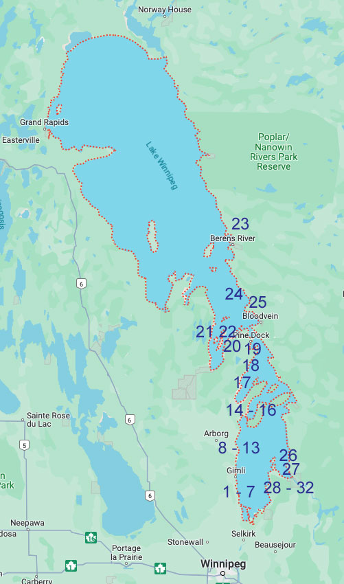
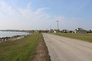
 |
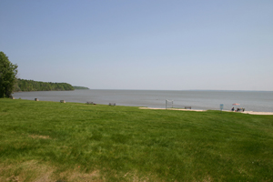
Lake Winnipeg
Lake Winnipeg is Canada's sixth-largest freshwater lake and
the third-largest freshwater lake contained entirely within Canada, but
it is relatively shallow (mean depth of 12 m [39 ft])[4] excluding a
narrow 36 m (118 ft) deep channel between the northern and southern
basins. It is the eleventh-largest freshwater lake on Earth. The lake's
east side has pristine boreal forests and rivers that were in 2018
inscribed as Pimachiowin Aki, a UNESCO World Heritage Site. The lake is
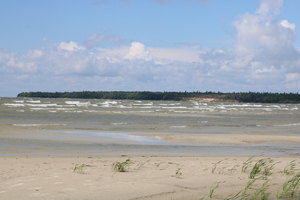
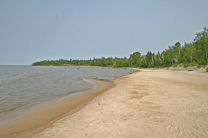
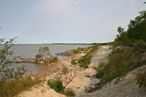
416 km (258 mi) from north to south, with remote sandy beaches, large
limestone cliffs, and many bat caves in some areas. Manitoba Hydro uses
the lake as one of the largest reservoirs in the world. There are many
islands, most of them undeveloped. (Wikipedia)
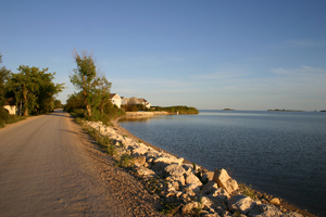
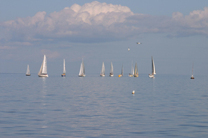
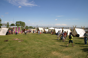
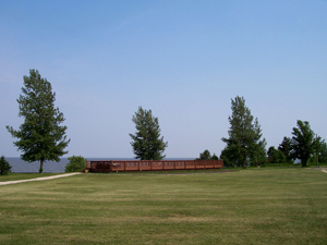
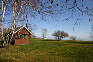
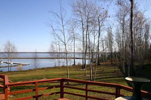
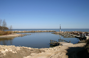
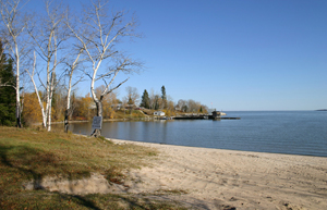
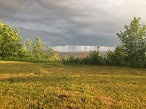
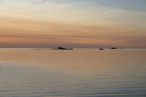
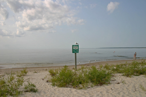
Collected here is a sample of photos of locations on the Lake - many with links to more detailed information.
2. Matllock
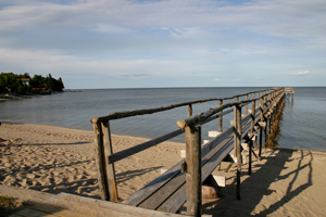
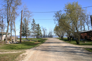
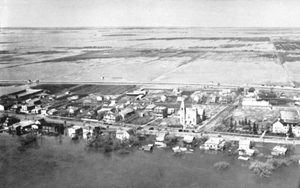
3. Winnipeg Beach
4. Sandy Hook
5. Willow Island
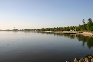
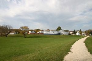
6. Gimli
7. Gimli
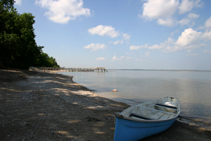
8. Misty Lake
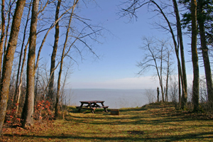
9. Camp Morton Hiking Trails & Campground
10. Camp Morton
11. Spruce Sands
12. Hnausa Campground
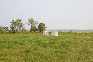
13. Betsy Ramsay Grave
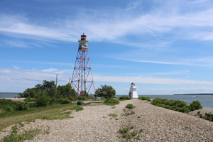
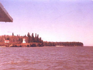
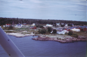
14. Gull Harbour - Hecla Island
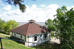
15. Hecla Village - Hecla Island
16. Grindstone Point
17. Beaver Creek Campground
18. Biscuit Harbour
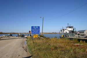
19. Calder's Dock
20. Pine Dock
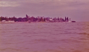
21. Matheson Island
22. Black Bear Island (1973)
23. Berens River
24. Little Tamarack Island
25. Princess Harbour
26. Elk Island
27. Victoria Beach
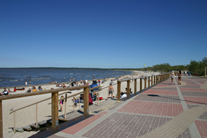
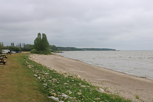
28. Grand Beach
29. Grand Marais
30. Stephen's Island
31. Sunset Beach
32. Patricia Beach
Manitoba Maritime Museum - Selkirk