 |
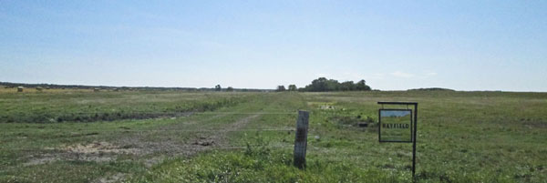
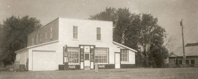
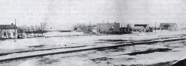
Hayfield is on the early maps, and had a post office and school serving a defined region. Although surveyed as a town during the planning of the line, it never did contain much more than the station, a general store, a hall and a few houses. Today as a traveler going south from Brandon who turns westward off of #10 Highway and proceeds down Hayfield Road will pass the unmarked and unrecognizable townsite.


Hayfield general store (July 1979) by Lawrence Stuckey
Source: Stuckey Collection, S. J. McKee Archives, Brandon University, 1-2002.3.3.BSW[326]

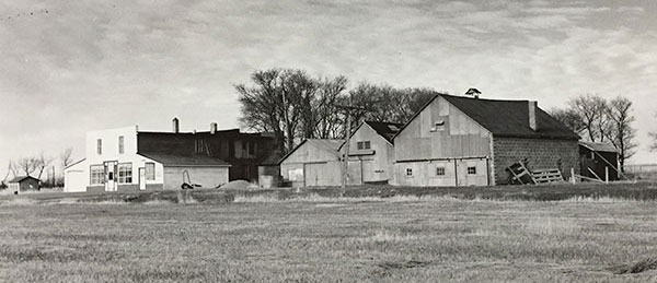
The Hayfield general store and other buildings (1963)
Source: Archives of Manitoba, Hayfield 1.
Memories of Hayfield - By Reid Dickie - a pdf
Visit Historic Sites of Manitoba
