|
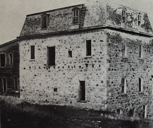
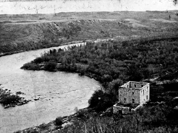
Gregory Mill

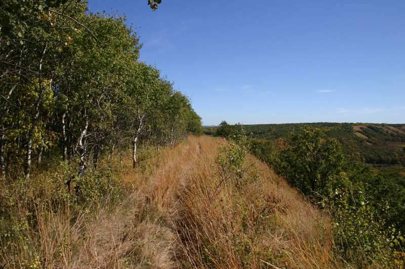
Overlook near the start of the trail
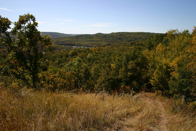
Descent from the ridge
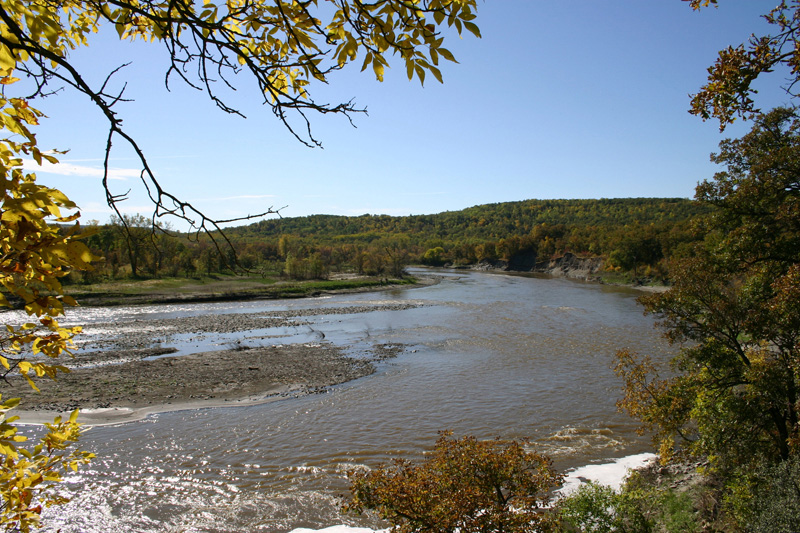
Souris River, upstream from the mill site
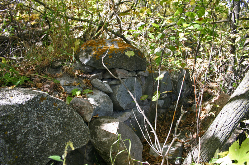
The remains of a wall
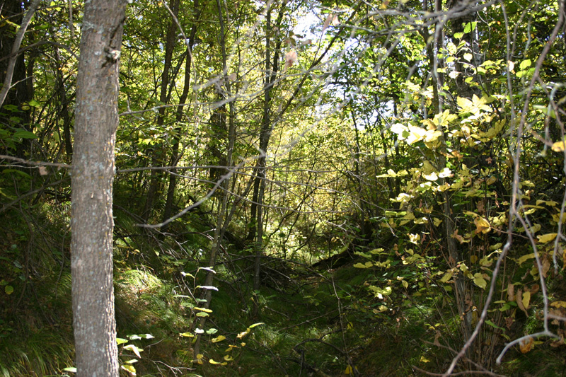
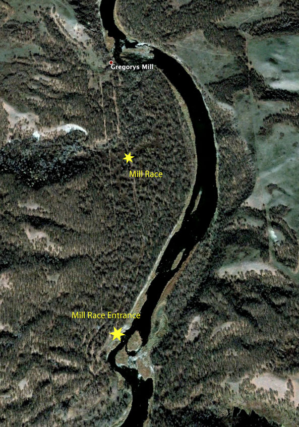
Trail along the Mill Race
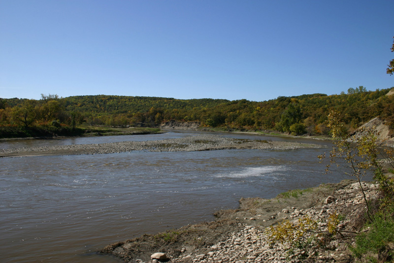
View from near the entrance to the Mill Race
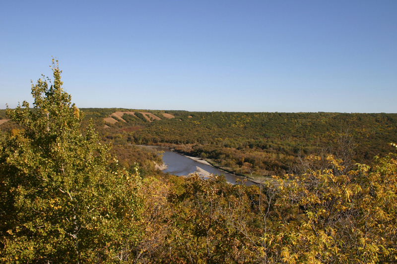
Souris River - viewed from the trail - looking northaest - the mill was just around the bend to the left.
River Journeys in Southwestern Manitoba
False Starts: Settlement Stories From Western Manitoba
The Souris Bend
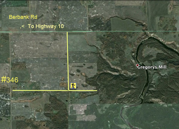
G.P.S.
Access Road:
49* 31' 02.63" N
99* 52' 42.94" W
Mill Site:
49* 31' 28.36" N
99* 49' 43.30" W
Video:
The Gregory Mill Trail