 |
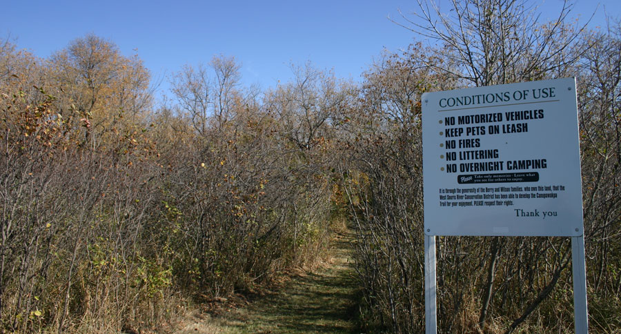
Canupawakpa Trail
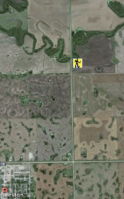
A short, easy hike, only a few km. off of Highway #2, near Reston


49* 34’ 50.29” N / 100*04’34.69” W
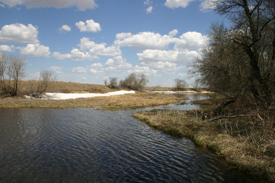
"Pipestone Creek" is known as "Canupawakpa" (Chu nup a wakpa) by the Dakota people, meaning "Pipe River". For many generations the indigenous people have used Pipestone Creek as a transportation corridor and camped along its banks.
Homesteaders chose this region because of fertile soils developed after centuries of periodic flooding.
Walk the trail and learn about the value of these forested banks, the habitat and abundant wildlife.
