 |
Municipalities / Boissevain - Morton
Municipal Website
https://boissevain.ca/
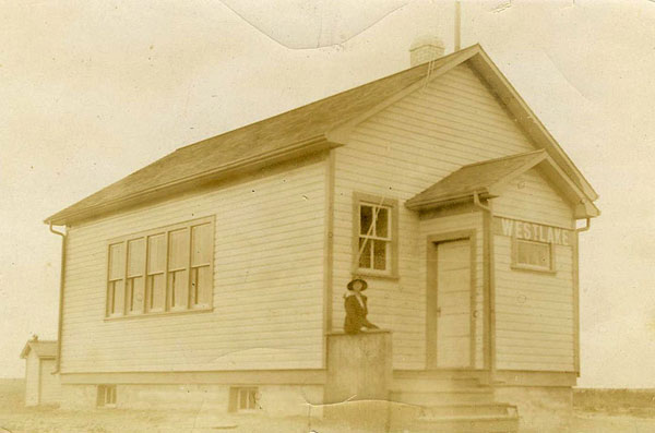
Lena Oles at West Lake School - ca. 1916
Sites to See: Boissevain - Morton
Visitors who want to see more and know more about the Boissevain area should take note of the Vantage Points Local History Resources Binder, and the inventory of “Special Places”
William Lake & Turtle’s Back
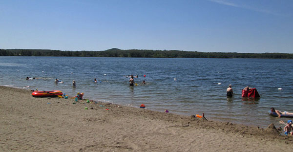
Travelling west towards Boissevain on Highway 3, offers a view to the south of the eastern ridge of Turtle Mountain. The high point, known as Turtle’s Back is often visible. Turn down William Lake Road to get a closer look, and experience the terrain. The roads ends at the lake, and an access to the Turtle’s Back Trail, which takes you to an even more inspiring view of the countryside in all directions.
Max Lake
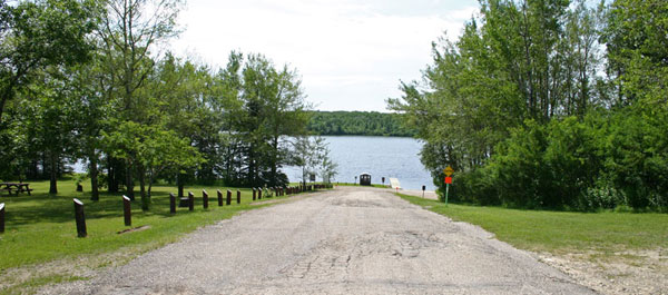
Max Lake was the recreation hot spot in pioneer days as well as the site of an important sawmill. Take a trip down Max Lake Road, off of Highway 3, west of Boissevain to get a good look at the heart of Turtle Mountain.
Horton / Desford / Boundary Trail
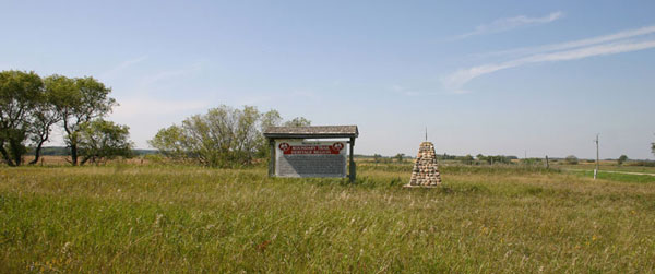
South on Highway 10 you will find a sign identifying the Boundary Commission Trail and commemorating the Desford and Horton Settlements.
Sites to See
Adam Lake
International Peace Garden
Max Lake
Visit Communities (Past & Present)
Alcester
Desford
Wassewa
Waubeesh
Whitewater
Vantage Points Stories
Adelpha
Alcester
All Saint's Church
A Tale of Two Mill Fires
"Cricket Anyone?" The Waubeesh English Settlement
Fox Sawmill
George King General Store
Mr. Bryan's Whistle Stop
In 1981 Earle Currie, in a written submission for Beckoning Hills Revisited, recalled the day the famous American politician and orator stopped in Boissevain.
The Anchorage
The Boundary Commission Trail
Turtle Mountain City and Wabeesh