| Index |
|
11. Conclusion: From
Rails to Roads
Many villages never recovered from the depression, but that merely hastened their inevitable decline. An all-day trek to Killarney with a horse and buggy over muddy trails, soon became a fifteen-minute drive over graded gravel roads. A local general store might survive for a while in the same way that convenience stores survive in the cities, but when you combine the convenience of car travel, the luxury of the endless consumer goods and farm supplies available in the nearby towns, it was hard to compete, hard to make a buck. On top of that, rural depopulation accelerated after WW2 just as railway service was declining. There just wasn’t a need for a village every few miles. When the railway ceased operation on the Wakopa – Greenway Branch, there was one less reason for local farmers to make the trip to the village. They were already heading to Boissevain and Killarney for most of their supplies. 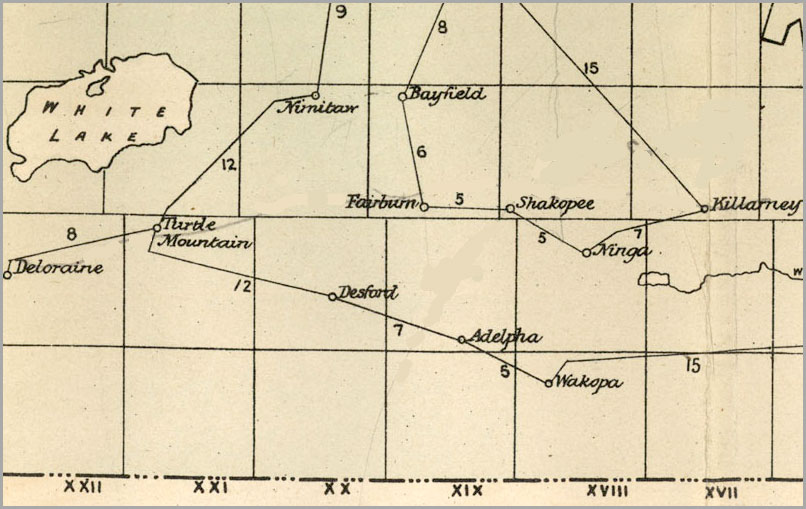 In 1884, before the railway arrived, Wakopa was the oldest and most commercially viable settlement in the region. 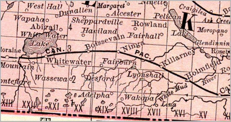 With the arrival of the Manitoba Southwestern, soon to become a CPR branch), Wakopa, like Desford, and Wassewa, became more of post – office / school location rather than a commercial centre. 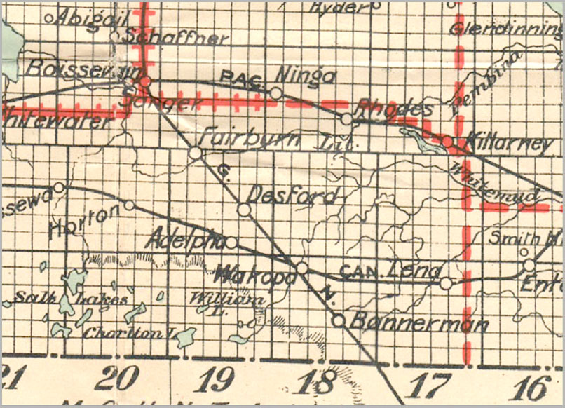 The arrival of two railway lines meant that almost all the locations on this map had an elevator and a station or loading platform. Wakopa, like Desford, Bannerman and Lena offered some retail activity as well as the elevator and station. 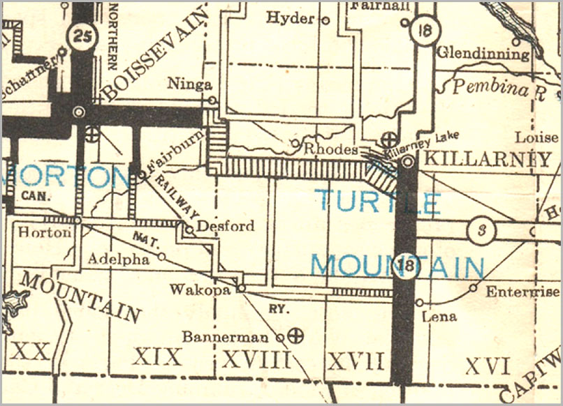 The increased use of cars, and in turn, the increased building and improved maintenance of roads gradually decreased the commercial activity in the smaller villages and increased the viability of Boissevain and Killarney. 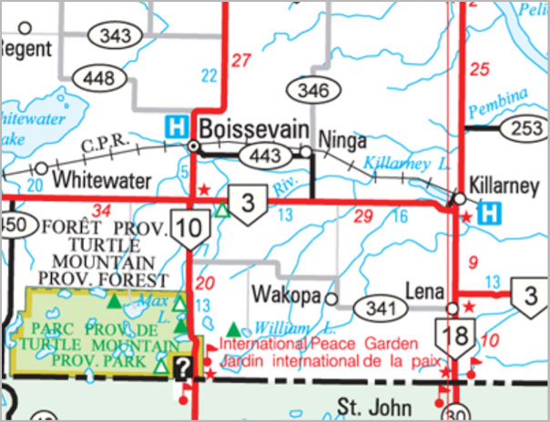 Today there is no trace of all the region’s railroad era villages (except Lena) and the fact that Wakopa is still on the map could well reflect its historic significance. |
