
Dunrea & Area
Self-Guided Tour #5 (Town)
Self-Guided Tour #6 (Rural)
Self-Guided Tour #5
Dunrea
Cabrea
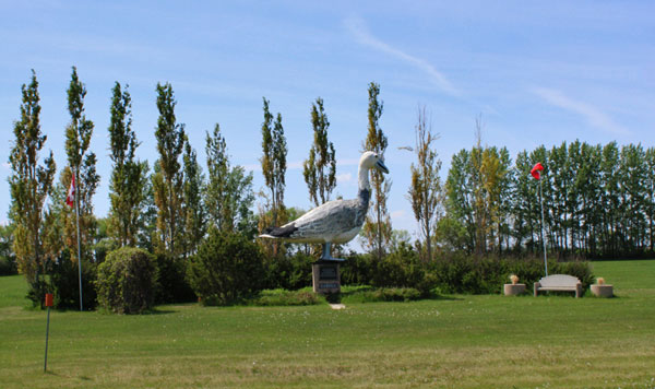
As you drive into town from Highway #23 the impressive statue of a Snow Goose in a well-tended park is one of the first sites to see.
Cabrea the Snow Goose
Cabrea was erected in 2000 to recognize the location along the migration flyway of this iconic northern bird.
The Hotel
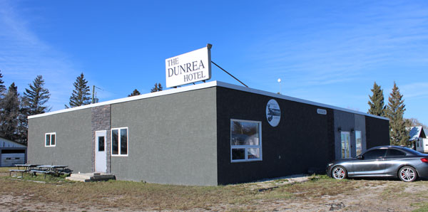
As you proceed, also to your left is the Dunrea Hotel, built by the Malliot family in 1965.
Commercial Sites
As you proceed northwards you will pass the remnants of a once bustling downtown.
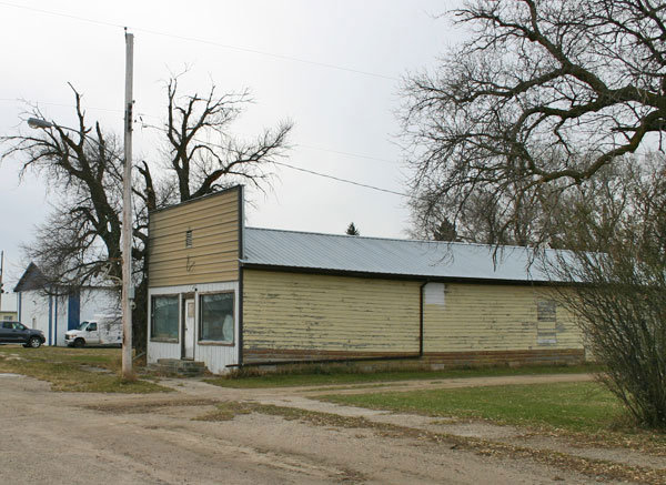
Lavoie’s Store – later the Solo Store – was built in 1914.
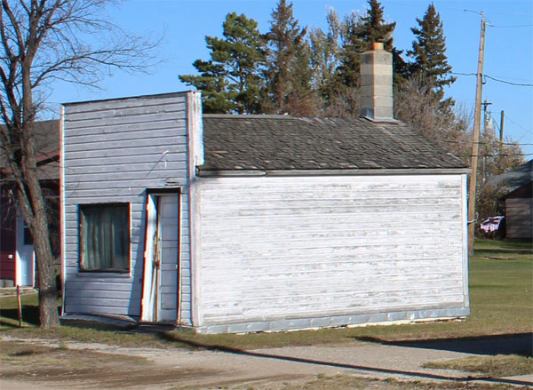
The modest Dunrea Credit Union Building, long closed, is still in place.
The Credit Union was formed in 1943 as a sub-branch of the Killarney Credit Union.
The first office was in the Post Office building. In 1947 this building was built and it was used until 1991.
Railways & Elevators
As you pass the former “downtown” you will see an open grassy area. This is where the railway line divided the town in half. Along this space there sued to be a station, elevators and other railway related buildings.
Dunrea School / Municipal Office
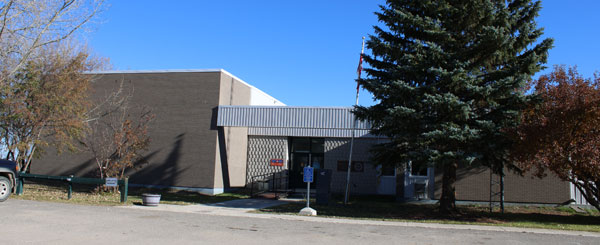
The Dunrea School / Municipal Office is in the southeast corner of town.
The School District was originally called Albion when established in1883. The name lasted until 1966. This building replaced an earlier two-story structure.
St. Felix Roman Catholic Church
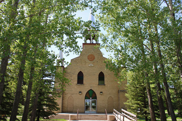
St. Felix Church will be easily spotted in the northwest corner.
The first St. Felix Church was a small frame building built in about 1891, southwest of where the village was later located. The new Church, was built in 1903.
Some Nearby Sites
Protestant / Rea Cemetery
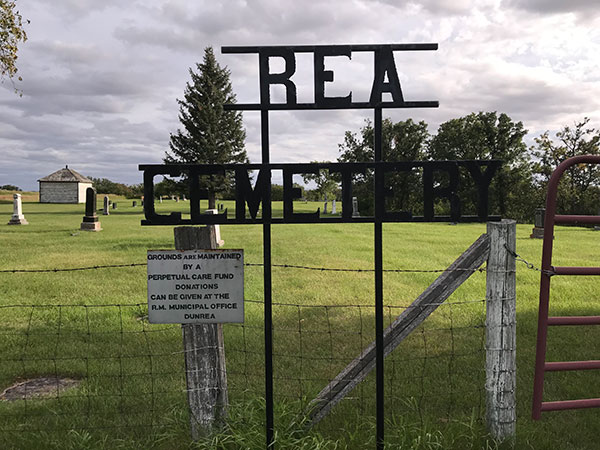
The Protestant Cemetery, often called the Rea Cemetery was established in the early Pioneer Era on SE 29-5-17. The first burial in this occurred in 1882.
N49.41431, W 99.72666
The Dunlop Cemetery
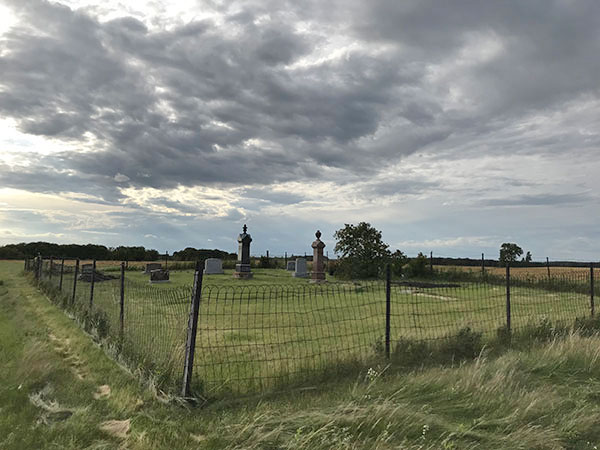
The first burial in this private cemetery, created by the Dunlop family, occurred in 1910.
N 49.42650, W 99.72447
St. Felix Roman Catholic Cemetery
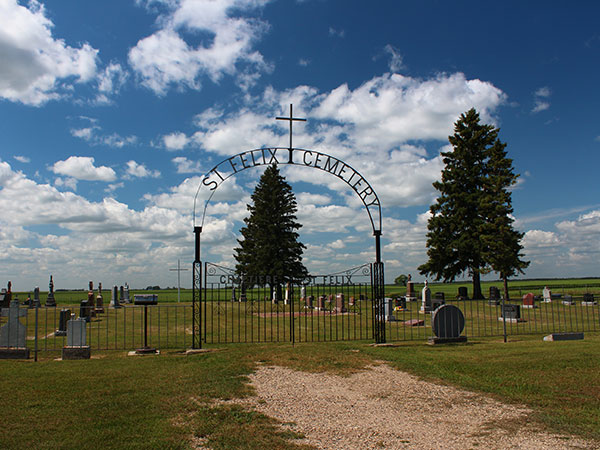
The Catholic Cemetery is on SE 19-5-17, just west of the village. It is on land donated by Joseph Fortier – the first burial was in 1907.
N49.40660, W99.74355
Railway Bridge
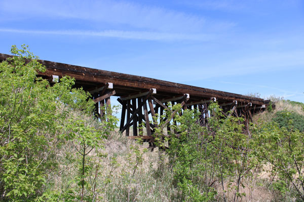
A short walk on a rough trail east of Dunrea takes you to this fine old railway bridge.
N 49.407072 W 99. 717673
Self-Guided Tour #6
Margaret & Some Rural Sites
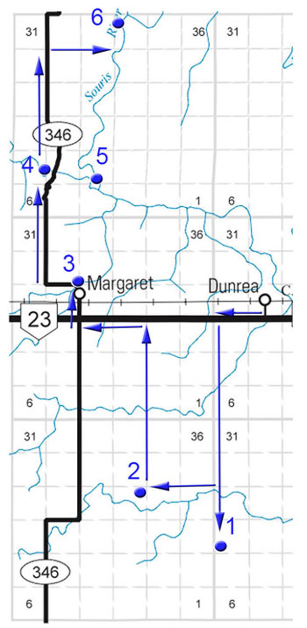
Rowland Church
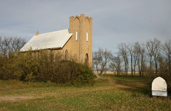
In 1882 a thriving town was located near this site. In 1885, the railway passed though Killarney. Rowland as a town was doomed, but Rowland as a community persisted.
Rowland United Church, built in 1912 for a Methodist Congregation, remains as a reminder of that community.
N49.29676, W 99.78814
Poverty Hill - The Russell Homestead
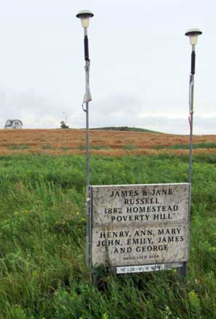
Rowland area homesteader James Russell named his farm “Poverty Hill”. A cairn marks the spot on NE 26- 4-18.
N 49.34038, W 99.78884
Margaret Village
In 1891, pioneer John Magwood applied for and received a Post Office, which he named Margaret after his mother. It was located in his home, about a kilometre north of the current village. Margaret was registered as a village in 1900.
King’s United Church
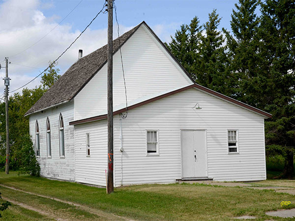
King’s United Church, built in 1900, was named in honour of Rev. John King, the first Principal of Manitoba College. At first Presbyterians and Methodists shared the facility. They began worshiping together long before Church Union in 1925.
The Rink
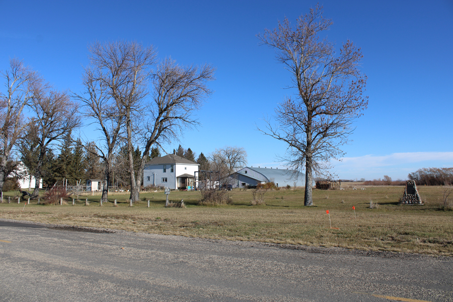
The rink was built in 1947 using Dring rafters from Boissevain.
The School Yard
A monument dedicated in 1970 on the site of the Margaret School, celebrates the region’s original schools.
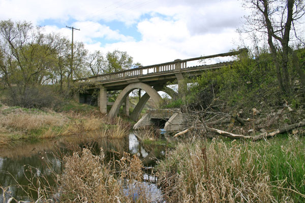
The Nelson Creek Bridge
This abandoned concrete arch bridge over Nelson Creek was constructed between 1916 and 1917 just north of Margaret.
Margaret Cemetery
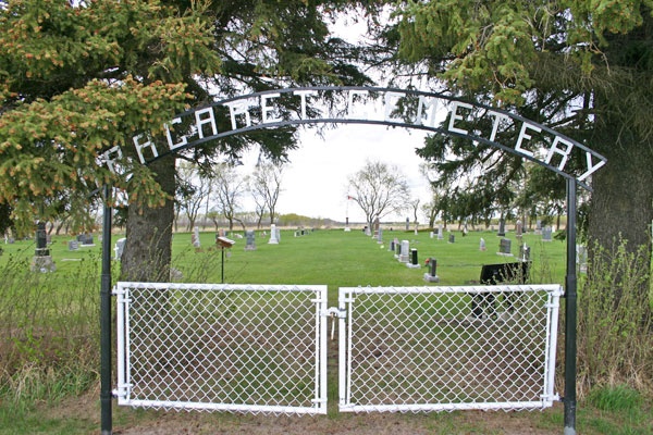
The first burial in the Margaret Cemetery was William McKellar, in 1888
N 49.41442, W 99.85717
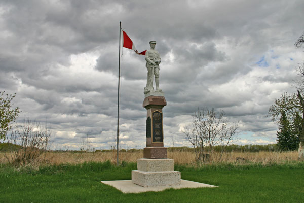
This cemetery contains a monument, unveiled in June 1921, commemorating men of the local area killed during military service in the First World War and Second World War.
The first verse of “In Flander’s Fields” is inscribed on the base.
McKellar's Bridge
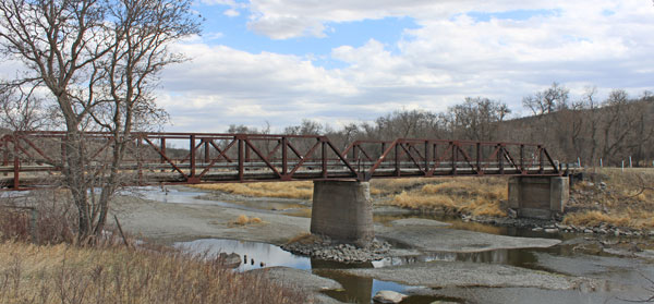
The main crossing of the Souris River in the region along provincial road #346 north of Margaret. From the south this is the route to Lang’s Crossing and then Gregory’s Mill.
N49.46195, W 99.87368
Lang's Crossing
The Souris Bend Wildlife Management Area
The lands that make up the WMA were secured in the 1960’s and the WMA was formally designated in 1968. It consist of over 2000 hectares over a beautiful and historic landscape. The following two sites are just a part of what the area has to offer.
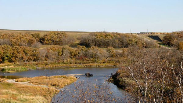
Pioneer trails crossed the Souris River at this spot.
49.450667 W 99.829892
Gregory's Mill
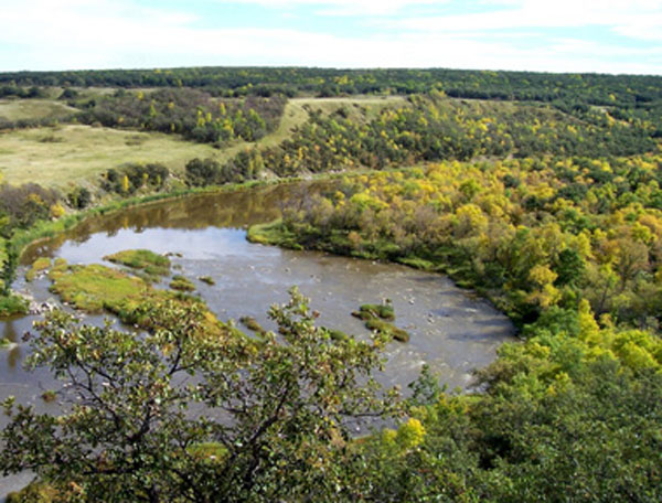
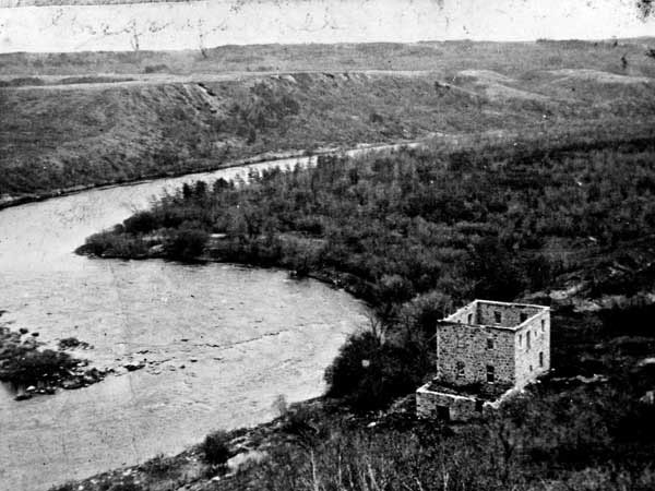
In 1883, John Gregory a stone mill, powered by river water with a steam engine as a backup during periods of low water. It provided flour for the settlers in the area, some coming as far as the United States to have their grain ground at the mill.
All that remains at the site are a few remnants of foundations hidden in dense bush, and the overgrown millrace, a ditch about two metres deep and over a kilometre in length, also overgrown, but unmistakably man-made.
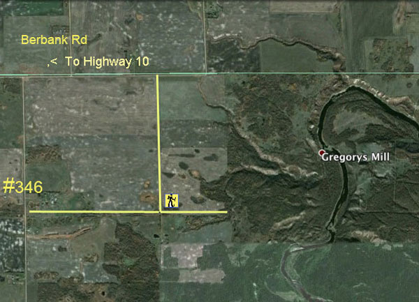
Trail head - N 49.514579 W99.839701
Mill Site- N 49.52416, W 99.82861
Tours in Belmont & Area
Tours in Ninette & Area