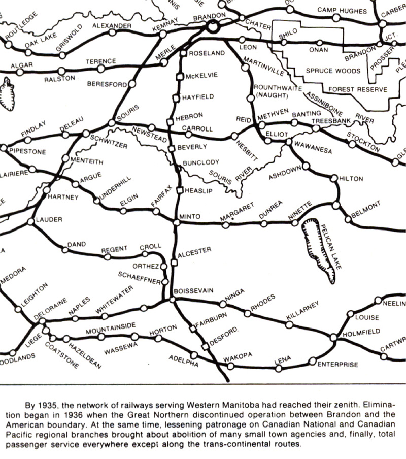
|
Maps / Transportation
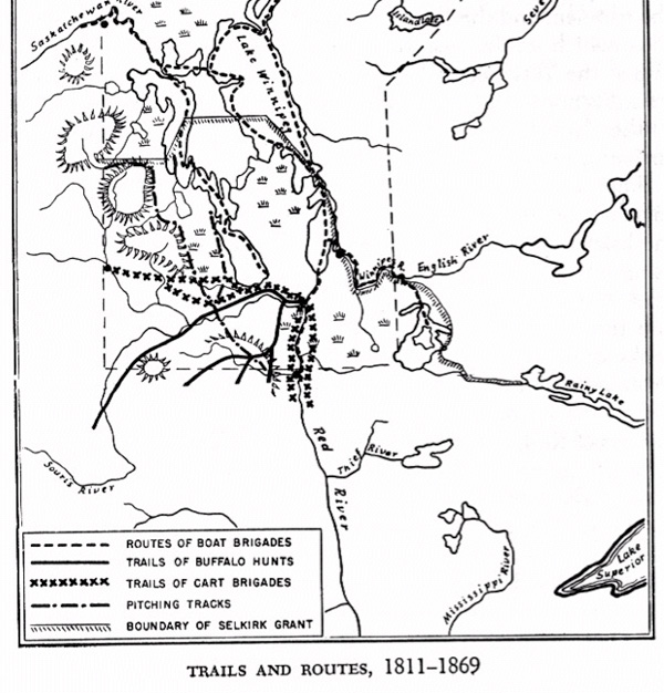
Scanned from the works of W.L Morton. Page 83
Indian Trails, Trader's Tracks and Colonization Roads
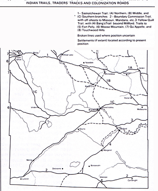
By Section, Township & Range, Studies in Prairie Settlement, John Langton Tyman
Brandon University, 1972 P 18
A Route For the CPR: The Alternatives
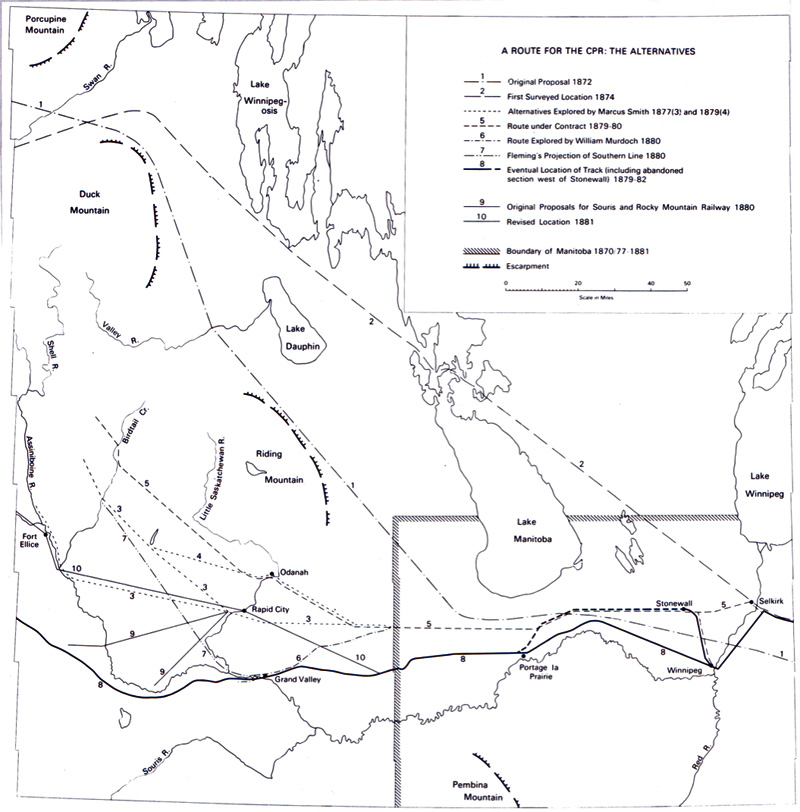
By Section, Township & Range, Studies in Prairie Settlement, John Langton Tyman
Brandon University, 1972 P 34
Railways - Real and Imagined 1888
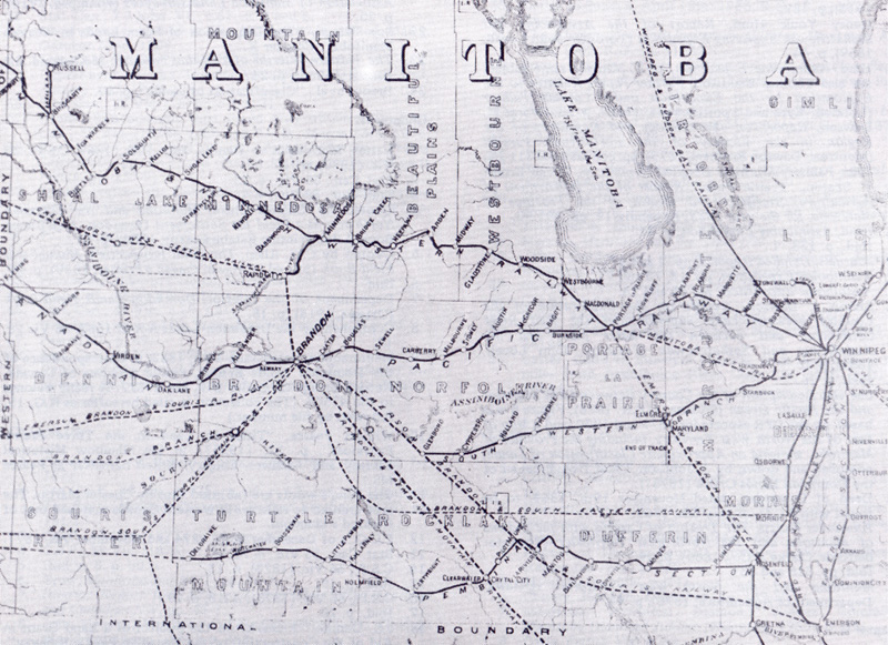
By Section, Township & Range, Studies in Prairie Settlement, John Langton Tyman
Brandon University, 1972 P 215
. Manitoba and the Northwest Territories of Canada Showing the Lines and Land Grant of the Canadian Pacific Railway (1886)
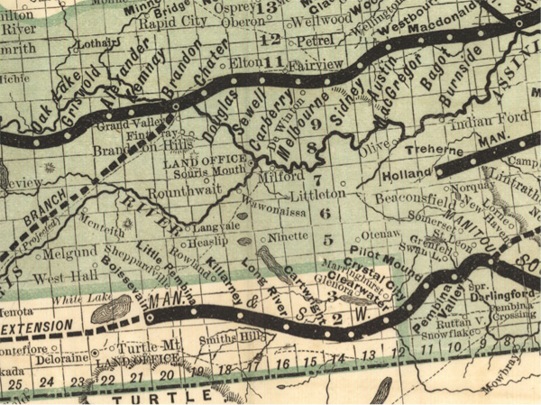
Canadian Pacific Railway Company. Manitoba and the Northwest Territories of Canada Showing the Lines and Land Grant of the Canadian Pacific Railway (Detail from SW Mb.)
Scale not given. In: Canadian Pacific Railway Company. Manitoba the Canadian North-West : Testimony of Actual Settlers. [Montreal]: Canadian Pacific Railway Company, 1886.
The Company's lands in part consist of the odd-numbered sections in the belt colored green, the remaining sections being Government
Homestead Lands.
Image Courtesy of University of Manitoba Archives & Special Collections
http://www.flickr.com/photos/manitobamaps/3858739907/
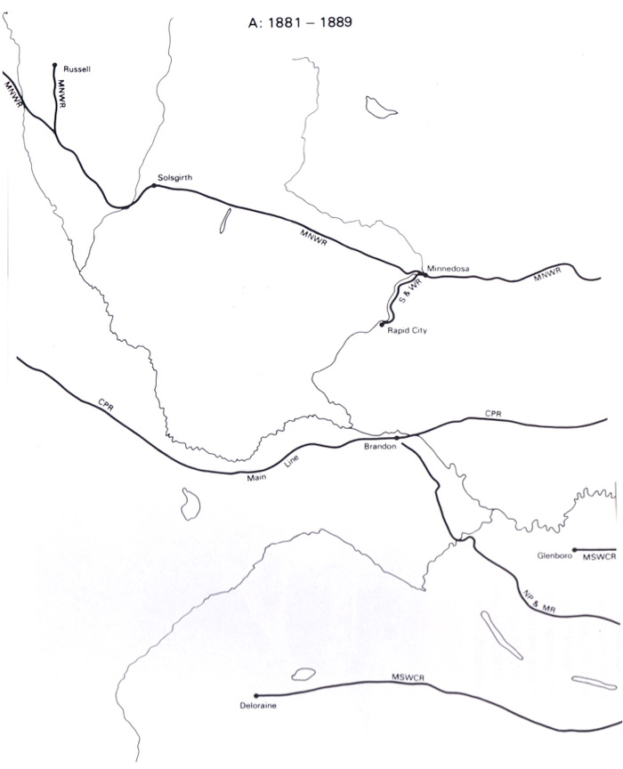
By Section, Township & Range, Studies in Prairie Settlement, John Langton Tyman
Brandon University, 1972 P 52-53
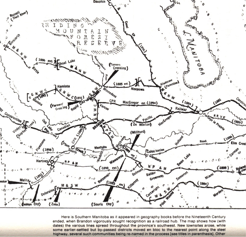
Manitoba Section of Map Showing Elevators in Manitoba (7th, ed. 1917)
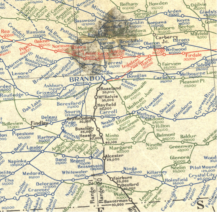
Canada Natural Resources Intelligence Branch. [Manitoba Section of Map Showing Elevators in Manitoba, Saskatchewan and Alberta] [map]. 7th ed. 1:1,584,000. [Ottawa]: Dept. of the Interior, 1917.
Elevators and Milling capacities complied from records of the Inspection Branch of the Department of Trade and Commerce, and other available sources. Legend shows rail routes (in operation and under construction) of Canadian Pacific Railway (Blue), Canadian Northern (Green) Grand Trunk Pacific (Red) and Other Railways (Black). Elevator capacities are given in bushels under each name in the respective colour of the road on which they are located.
Note: Department of the Interior Canada. Honourable W.J. Roche, Minister. W.W. Cory, Deputy Minister. Map prepared in the Natural Resources Intelligence Branch under the direction of F.C.C. Lynch, Superintendent.
Source: University of Manitoba : Elizabeth Dafoe Library : Map Collection
http://www.flickr.com/photos/manitobamaps/2200154066/
