Launch
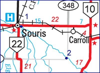
: Just east of Souris, downstream from the dam. You can see the
dam
from the highway.
Landing
: To
get to the Bunclody Bridge, drive south from Brandon on Highway #10 and
turn west onto #2 at the Log Cabin. Turn south at the "Fairfax" sign
(Prov. Road 348). The bridge is seven or eight kilometres.
Distance : About
30 km
Time : 4 - 6
hours
|
 |

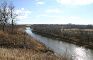
In
early July the water was just high enough to make the rapids
passable. The Souris in this area seems to be a series of wide, calm
lake-like bodies joined by quick drops. The short rapids that join
these quiet stretches are usually easily navigable once you recognize
the submerged rocks on the first shelf and steer between them. The
banks get steeper as you progress. About half way you'll see a cabin on
the left bank, followed by a white bungalow overlooking the escarpment.
Watch for two unmarked electric fences crossing the river in the last
part of the trip - they are hard to see.
|


