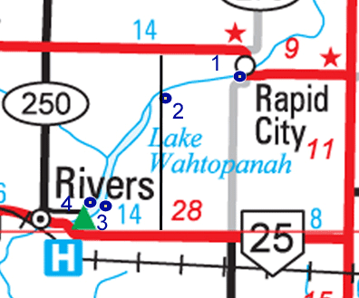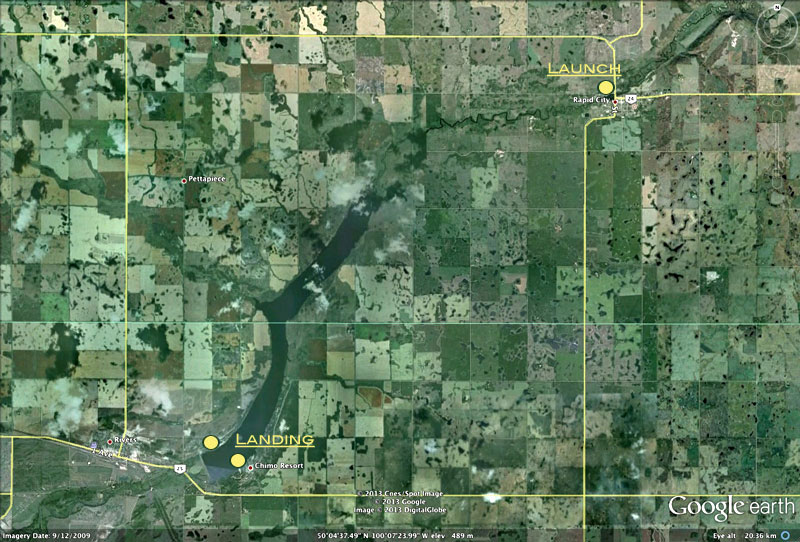
Launch : Launch downstream from
the dam on the west side of Rapid City
Landing : Daly Beach (3) off
Highway #25 a few km east of Rivers. or the Provincial Campround (4) on
the north side of the lake. For a shorter trip, stop at the bridge (2)
just east of the lake on Sunset Rd.
Distance : About 15 km
Time : 3 -5 hours
See
Google Earth
View
Paddling times vary widely depending on
river levels and flow.
|
 |

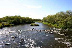
This is also an easy trip. This is the
view from the Rapid City Dam, where one would launch. In low water such
as this you will have to walk downstream a bit.
Fast water in the
spring will requite caution as obstruction
such as drifting trees may appear.
The last stretch takes you along the lake
be sure to avoid coming too close to the dam near Rivers.
|


