by Bill Perry
Parks Canada, Calgary
|
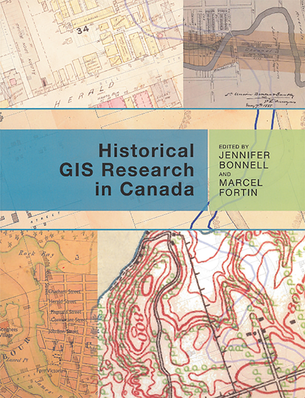
Jennifer Bonnell and Marcel Fortin (eds.), Historical GIS Research in Canada. Canadian History and Environment Series, Alan MacEachern, Series Editor. NiCHE: Network in Canadian History & Environment, University of Calgary Press, 2014, 322 pages. ISBN: 978-1-55238-708-5, $39.95 (paperback)
 “GIS allows orientation and coordination of dissimilar things ... in terms of a single location ... allows us to merge things created at dramatically different times to create what are in effect, new modern images which potentially reveal things about the past that the original artifacts did not” (Bonnell and Fortin p. xi).
And so starts an ambitious compendium of the state of historic research using historical geographical information system (HGIS) methodologies analysed against a backdrop of environmental change. Supported by NiCHE (the Network in Canadian History and Environment Series) and more specifically the Canadian History of Environment Series edited by Alan MacEachern, this volume is comprised of thirteen case studies, arranged geographically across Canada that highlight collaborative research projects representing many different facets of historic research. These case studies have used HGIS in innovative ways as a means of both addressing research questions that are important, and it is not likely that the committee would recommend the young and inexperienced. Without that approval there will be no appointment. One suspects that political affiliations and mentoring are still influential, but this remains to be further studied and documented with respect to the years following 1950. There is no reason to believe anything has changed. There have been a number of high profile political appointments in recent years, but the party affiliations of most other candidates are not always readily apparent. However, as a long-time member of the Manitoba legal profession, this reviewer would suggest that, even if the parties are habitually appointing their own, the selections on the whole have been well qualified and many have been outstanding.We are indebted to Professor Brawn for a fascinating and well-documented account of how lawyers got to the bench in the period studied. The paths he explored may very well be as relevant today as they were in the past.Gerald JewersRetired Manitoba Queen’s Bench Judgedifficult to get at by more traditional means, and as a tool to present research and historic information to the public.
The purpose of this volume, as the editors outline, is not only to introduce readers to the suite of HGIS tools and techniques as a method of historical enquiry, but also to provide a tool for teaching. It is a window into the collaborative process between historians, geographers, and a whole range of other researchers. It is also a venue to showcase work within this country and highlight the successes, challenges, and the power of HGIS as a bona fide method of historic enquiry.
HGIS has a long history in North America. The editors of this volume do a good job in defining and discussing its origins and permutations. It is important to note, however, that modern GIS encompasses such a broad range of analytical tools designed to appeal to a multi-disciplinary clientele that it can be said to be limited only by the imagination of the researcher (and the availability of good data). It is not just that HGIS can do such analysisas after all, much of this type of analysis has long been done the hard way, using paper maps and text-based datarather, it is that HGIS can do it faster, more efficiently, and with much value added. Using the visual overlap and display of location-based historic information, the researcher has access to a whole suite of analysis tools that enable an integration of data revealing patterns not previously noticed.
The range of case studies chronicled in this volume is also impressive, reflecting the multidisciplinary nature of these studies. HGIS is used to study the implications of racial issues at early Fort Victoria on Vancouver Island in a chapter by John Lutz, Patrick Dunae, Jason Gilliland, Don Lafreniere, and Megan Harvey. It draws on records from the Chinese Head Tax levied from early Chinese immigrants, specifically the data on immigrant origins and destination, revealing interesting patterns. The history of transportation infrastructure on the Great Lakes is examined by Colleen Beard, Daniel Macfarlane and Jim Clifford using Google Earth software. A study of historical forestry practices on Prince Edward Island, by Joshua MacFadyen and William Glen, uses HGIS research into historic agricultural and land use data to call into question forest inventory assumptions. Chapters on the Don Valley Historical mapping project by the volume editors Jennifer Bonnell and Marcel Fortin, and the Knox Presbyterian Church membership study in Toronto by Andrew Hinson, Jennifer Marvin, and Cameron Metcalf address many challenges and rewards in conducting urban HGIS research.
An historic Mohawk land dispute is chronicled and examined from an HGIS perspective by Daniel Rueck, who examines historic and modern maps through the lens of historic narratives in order to show how historic events and cultures can be “encoded” into the modern landscape. Urban neighbourhoods can also be investigated using HGIS methodologies. Francois Dufaux and Sherry Olson tell the story of the rebuilding of St. Mary’s neighbourhood in Montreal after a fire destroyed much of it. R. H. Sandwell explores how the expansion of the national electrical grid through the Canadian prairies in the 1920s illustrated changes in population density and changing domestic fuel use.
All of these case studies are related in some way to environmental change. Stephen Bocking and Barbara Znamirowski uncover key stories of environmental change in a chapter examining the industrial history of south-central Ontario. Urban forest canopy change over time is examined in a study of Ottawa neighbourhoods by Joanna Dean and Jon Pasher. Mathew Hatveny explores erosion along the St. Lawrence salt marsh using HGIS as an approach to answering environmental questions and issues. Finally, Byron Moldofsky explores the use of census microdata and the setting up of a major research infrastructure using the HGIS methodology.
This volume, with its wide-ranging and relevant Canadian case studies using HGIS, is a milestone within the wave of new location-based, digital methodologies now available to augment the cultural resource researcher’s tool box and to expand traditional research methods. Based on map overlays, the joining of map- and text-based information (historic and modern), new research horizons have not only been imagined, but many are now realized. The case studies outlined in this volume are good examples.
The news is not all good, however. Although volumes of this sort tend to highlight successes and elucidate how challenges were overcome, many of these case studies candidly recount challenges faced during the formulation and implantation of HGIS projects. Almost without exception, however, these same challenges were overcome through the application of a collaborative approach based on a multidisciplinary skill base. Perhaps within this lies a lesson for the future.
What has also become apparent from reviewing this compendium is that, as in many research-based disciplines elsewhere, GIS has now become a mainstream analysis tool for historians, who are embracing this visual, location-based framework, finding it easily adapted to the telling of storieswhat history (and I add archaeology here) is arguably all about. Since people thrive on the “visual,” HGIS supplies a tool to tell our stories very well indeed.
I would recommend this volume to my colleagues within historical research, but also to those in the larger cultural resource management world, as many of the spatial techniques and methodologies explored here are expandable into the larger multidisciplinary universe of cultural resource research.
We thank Clara Bachmann for assistance in preparing the online version of this article.
We thank S. Goldsborough for assistance in preparing the online version of this article.
Page revised: 15 April 2020
